
Are you ready to continue with the trip to the Rocky Mountain Nat’l Park via Estes Park?
Hello, and welcome back! There will be lots of gorgeous pictures in this post. 🙂
If you missed day 1, click here.
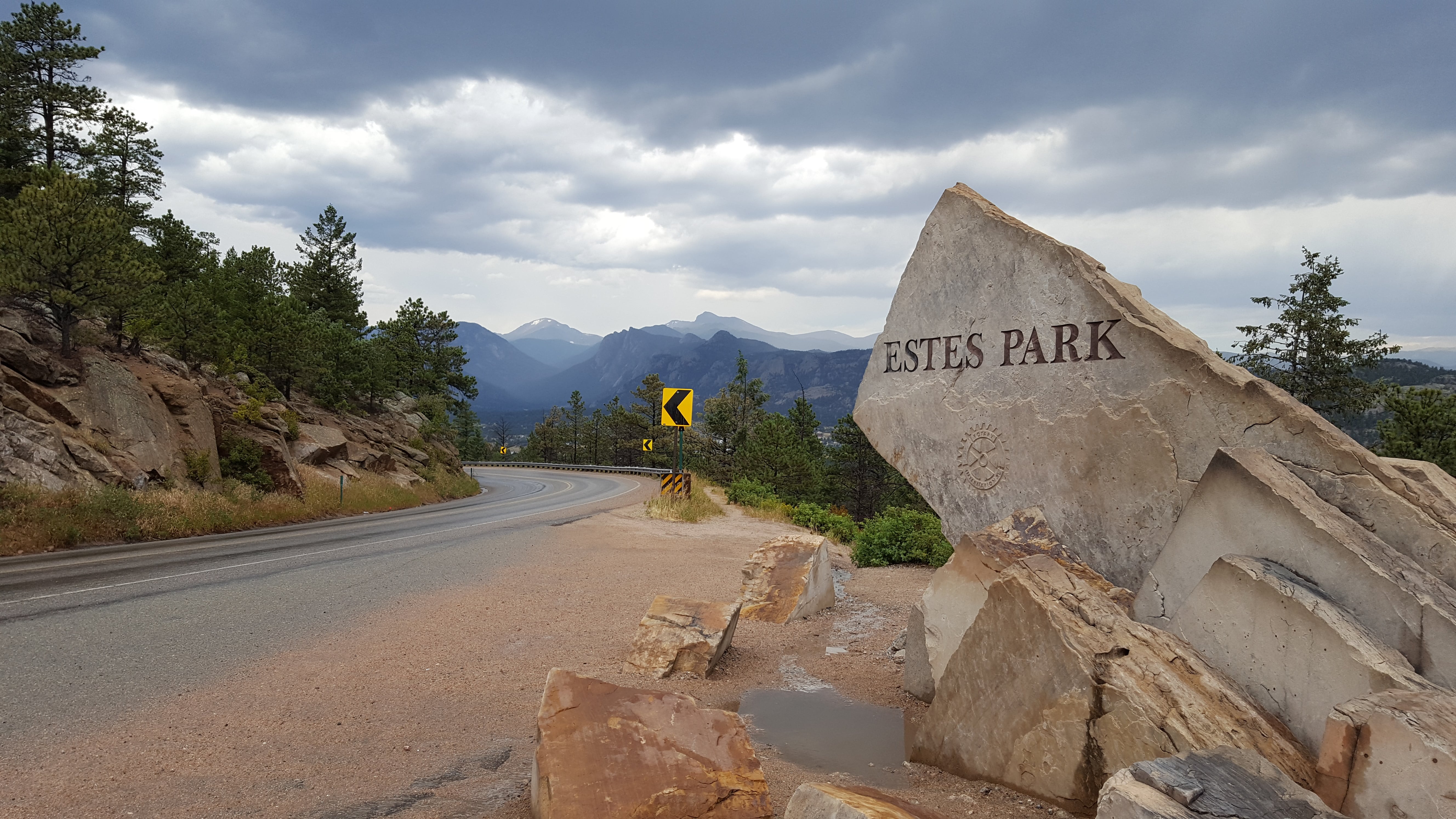
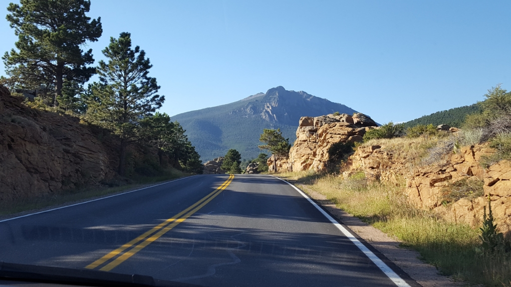
Day 3. Up at 5 a.m. Drove shortcut through the Park (great, clear morning!) and came out the south side. Also drove Mary’s Lake Road, saw Mary’s Lake, and came back into town from the south via highway 36 to take a picture of the stellar Estes Park sign.
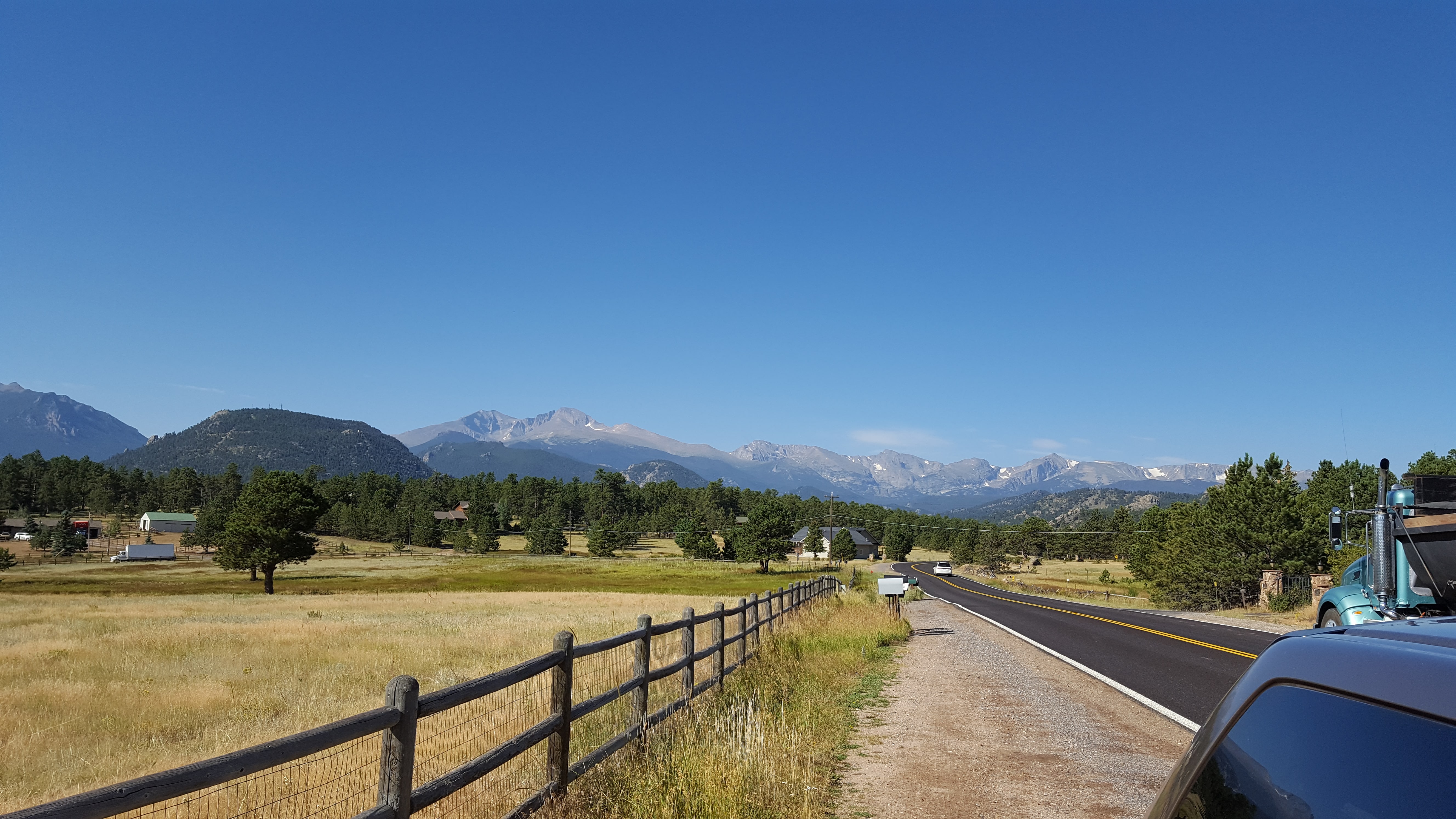
First sight
This is the direction that Joel Estes came from when he got his first view of the “Park,” which means “a broad, fairly level valley between mountain ranges.”
The following is an excerpt by D. Ferrel Atkins:
In the fall of 1859, as the mountains were mantled with the red and gold of the aspen, Joel and his son set forth on a hunting expedition.
Following the trail of a bear, they came out on a high promontory and looked down into a beautiful valley which became the home of the Estes family in the summer of 1860.
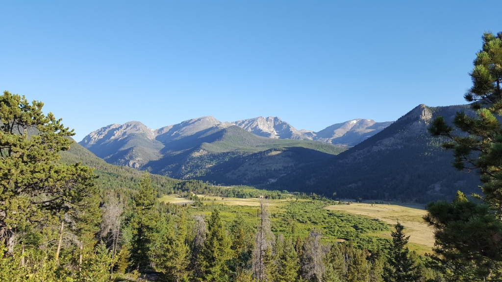
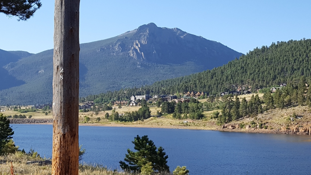
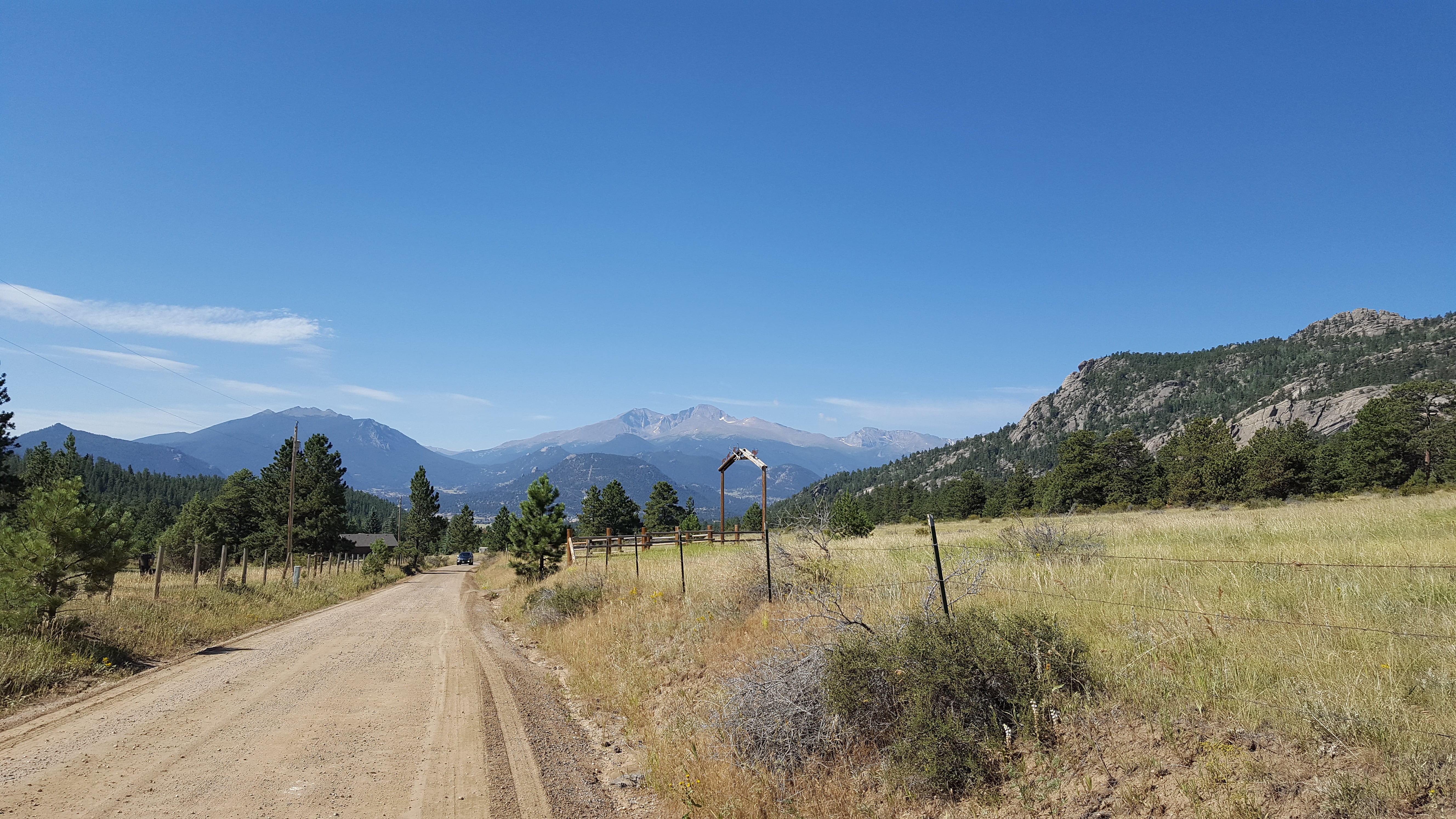
Overlooking Horseshoe Park and the Mummy Range
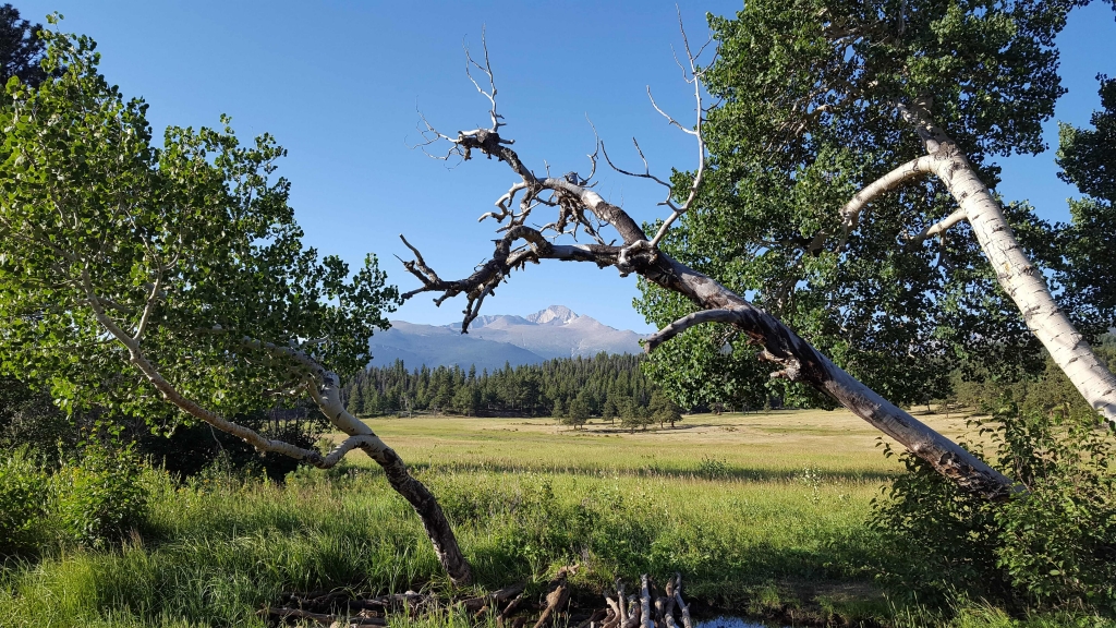
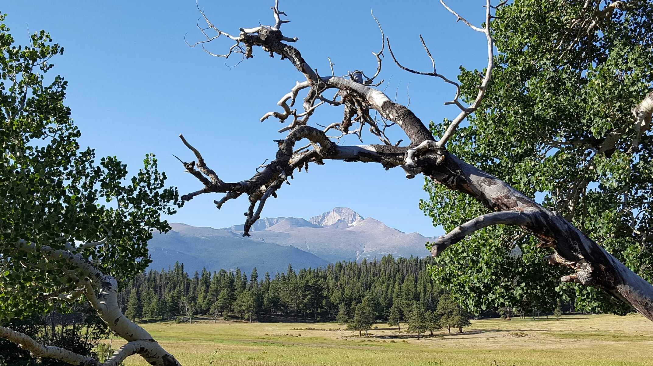
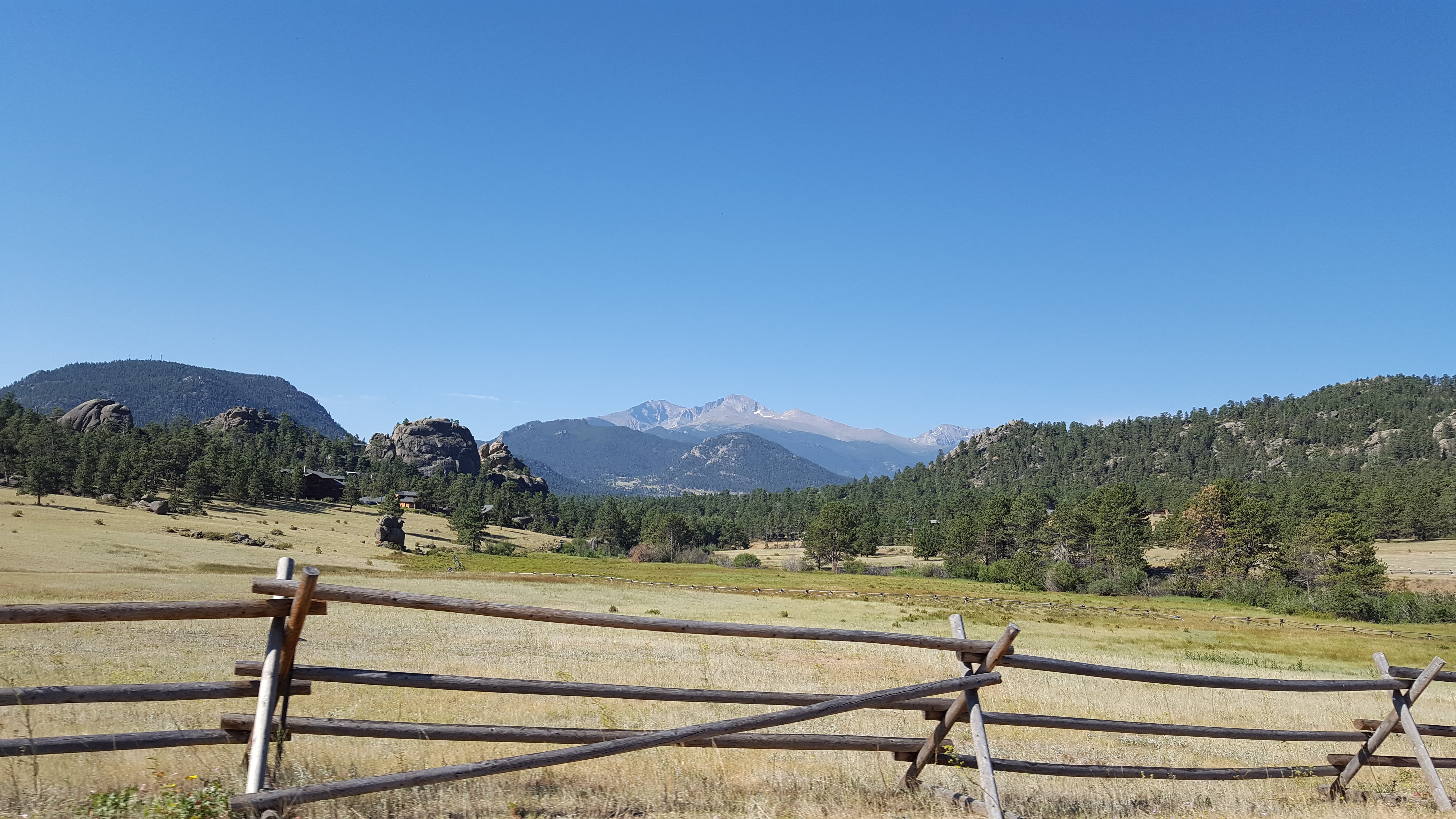
Long’s Peak from Lower Beaver Meadows
Beautiful Mary’s Lake
Inviting and fun-to-drive Mary’s Lake Road
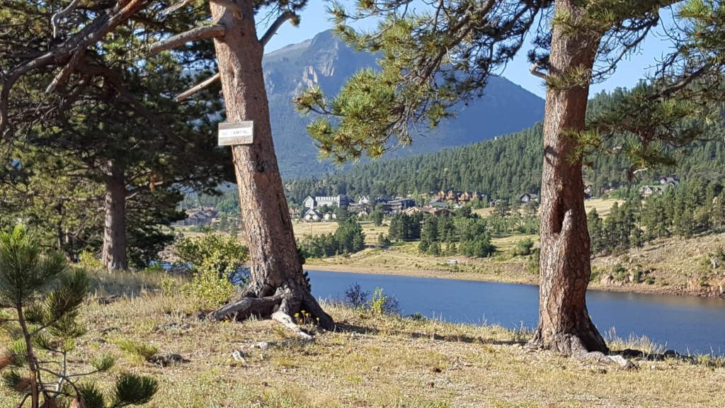
Looking through the trees at Mary’s Lake 🙂
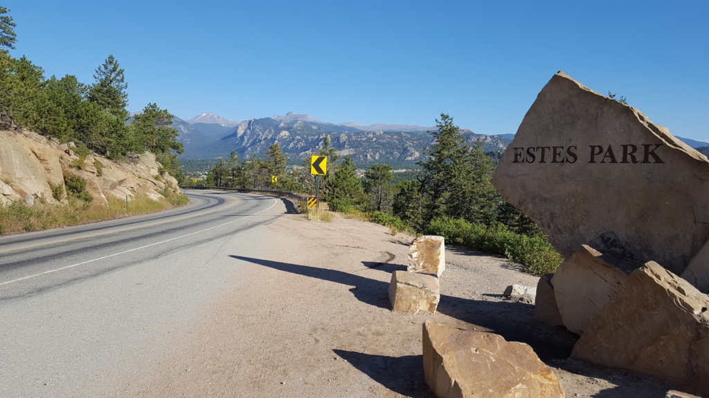
Estes Park sign with morning shadows, looking north
We cruised by picturesque Lake Estes as we headed downtown for coffee. This was Rick’s first time EVER to drink a Starbucks concoction!
He chose a Caramel Macchiato. I had my one and only favorite, Peppermint Mocha. 🙂
Fast and colorful
We drank them beside the Riverwalk that runs through town. I saw a mink on the rocks beside the river, but couldn’t get a picture. It darted away quickly!
Walking around the town, we took in the sights; Estes is very colorful!
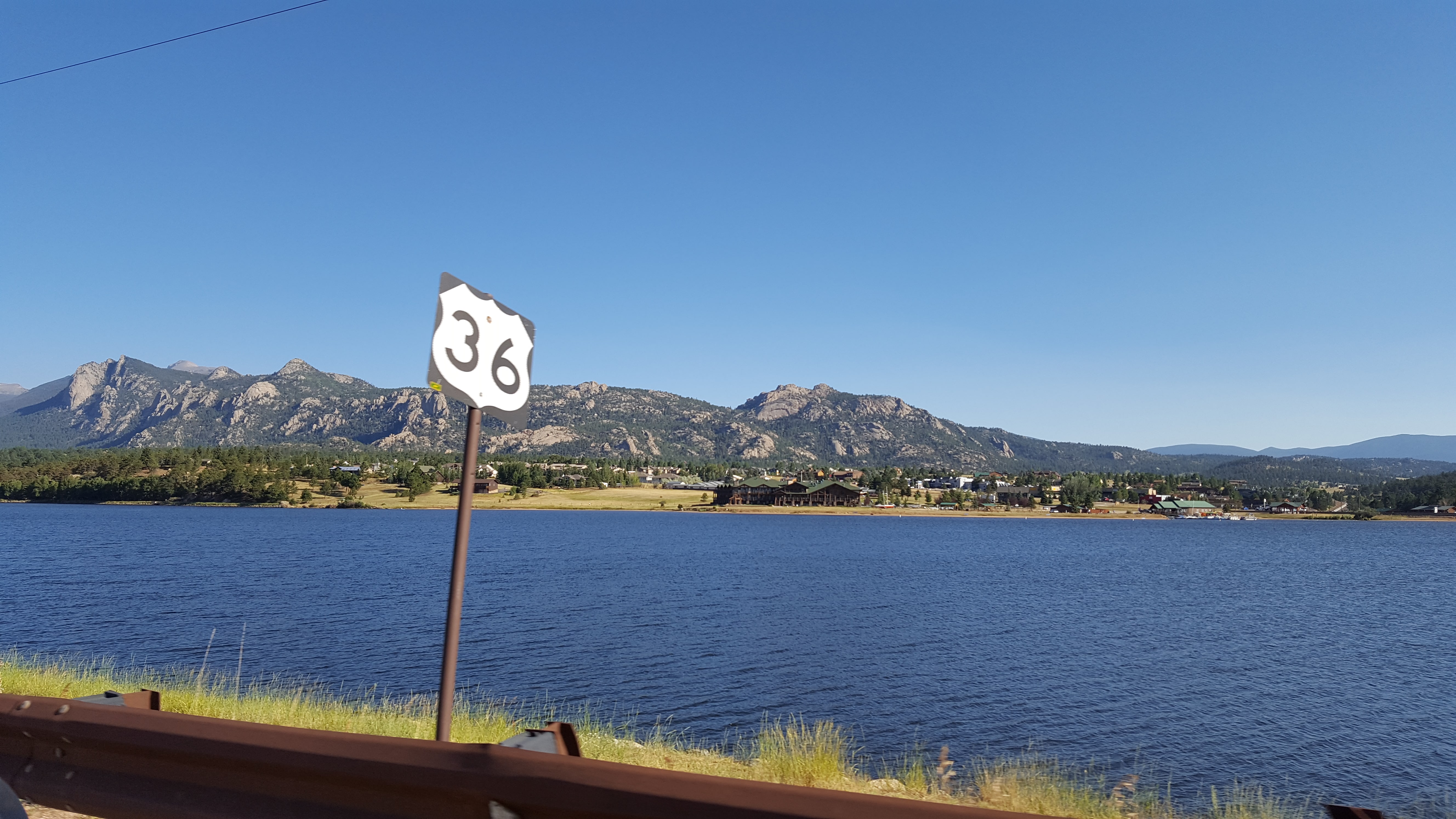
Lake Estes with Lumpy Ridge in background
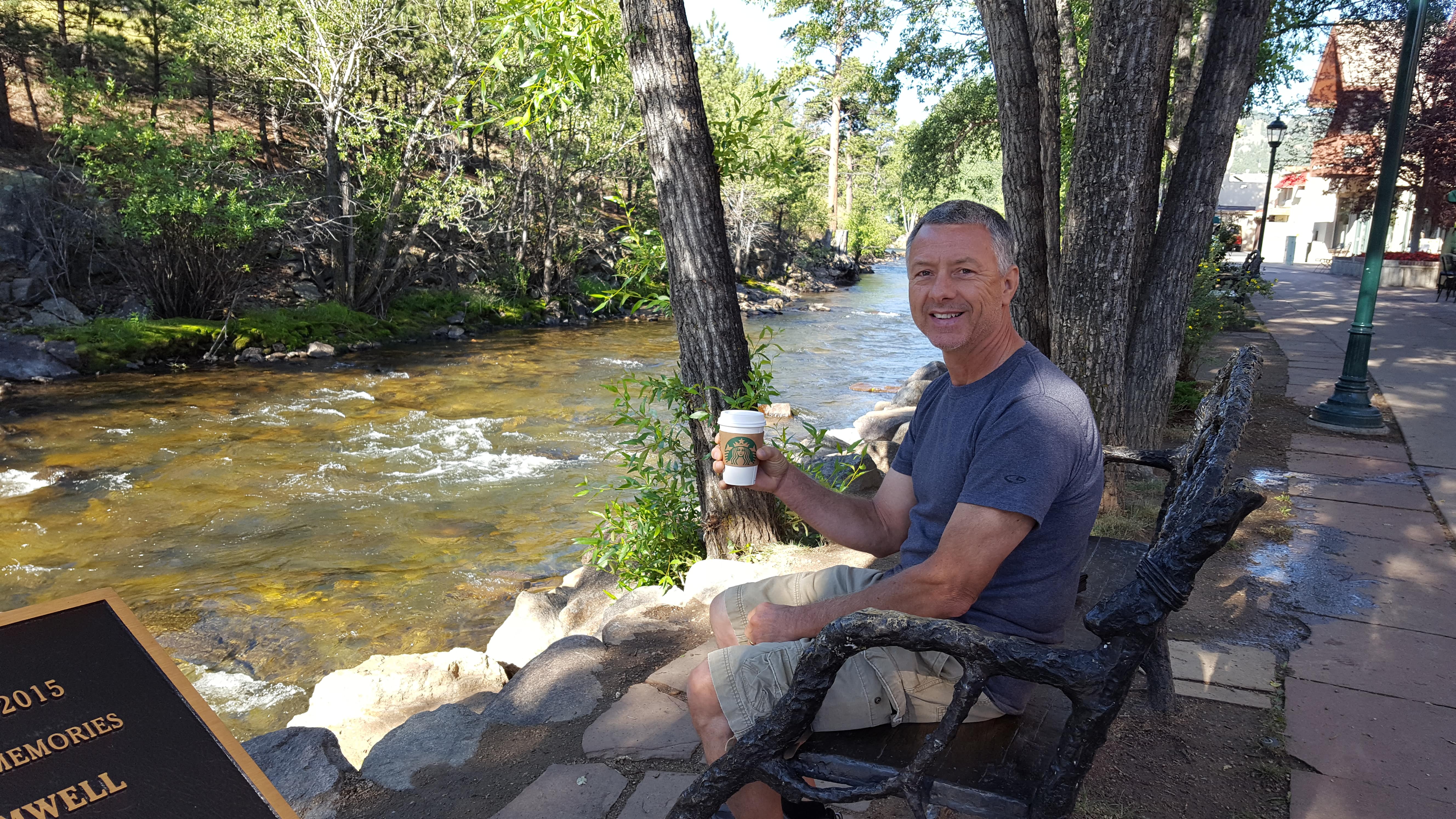
Rick on the Riverwalk enjoying his first Starbucks 🙂
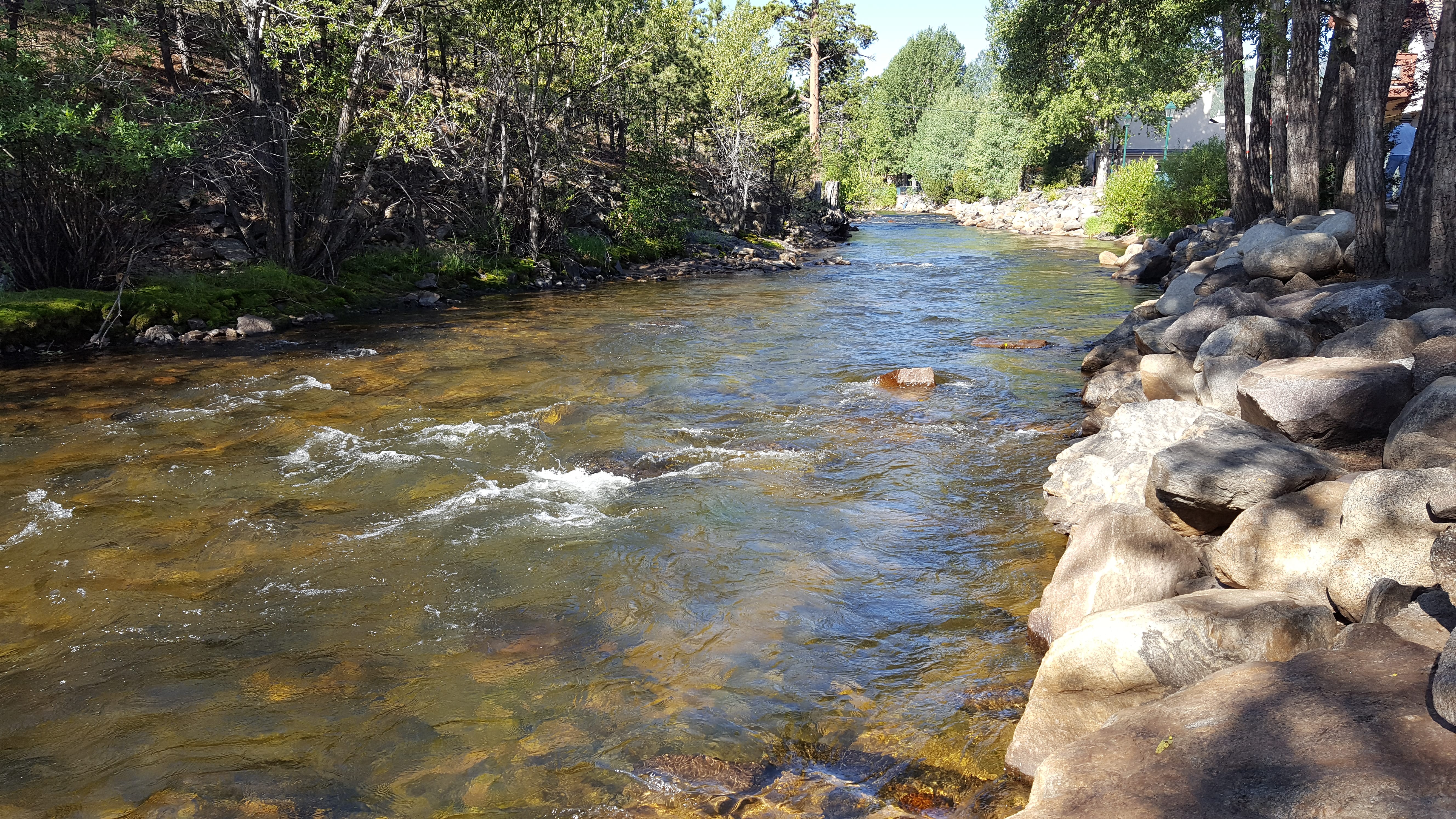
Big Thompson River flows through Estes Park
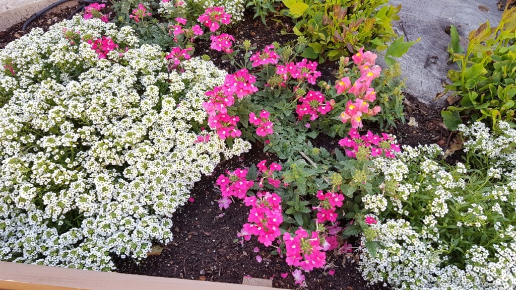
Downtown flower bed
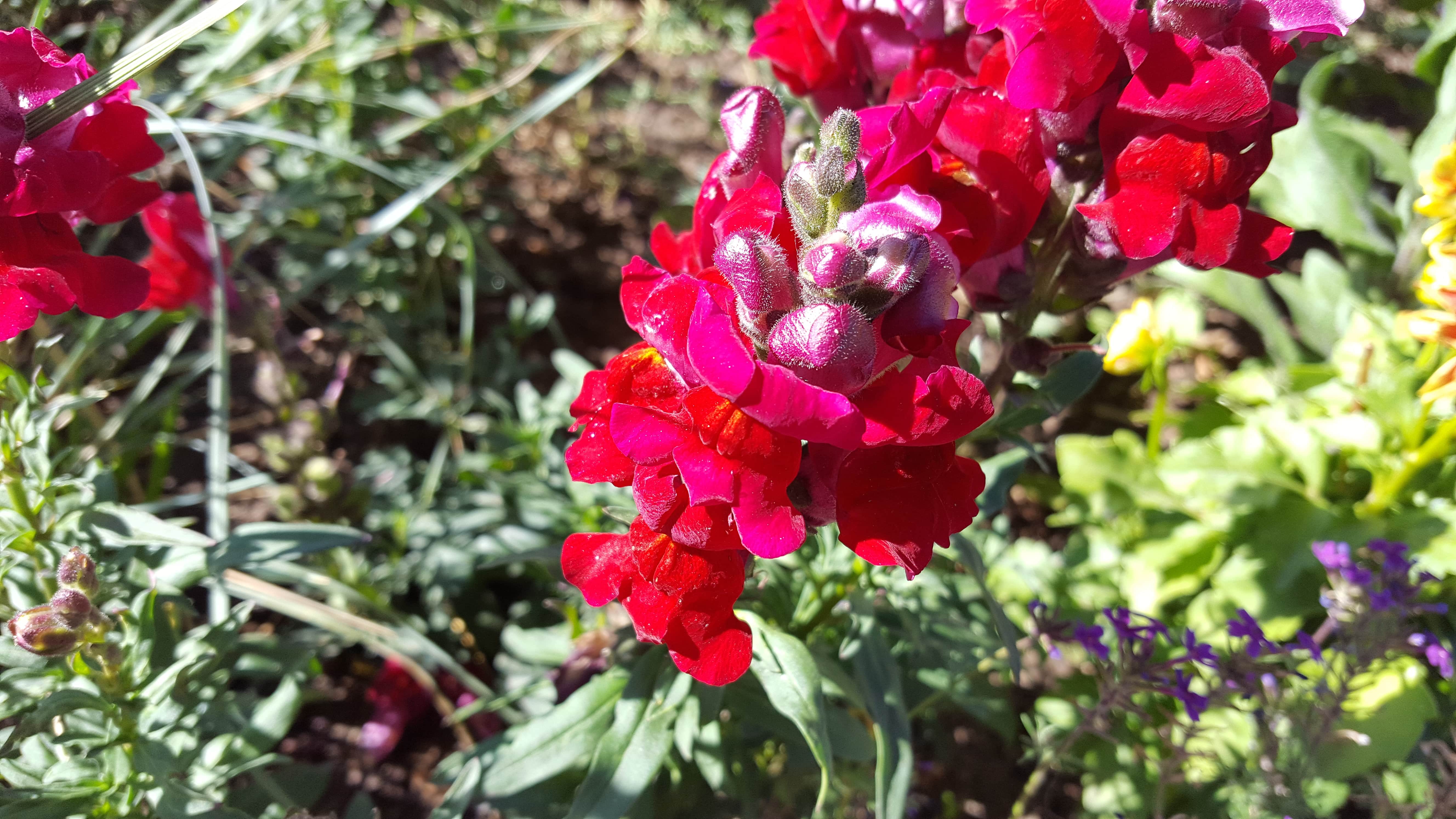
Bright red flower
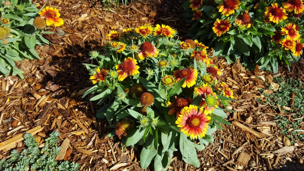
So striking!
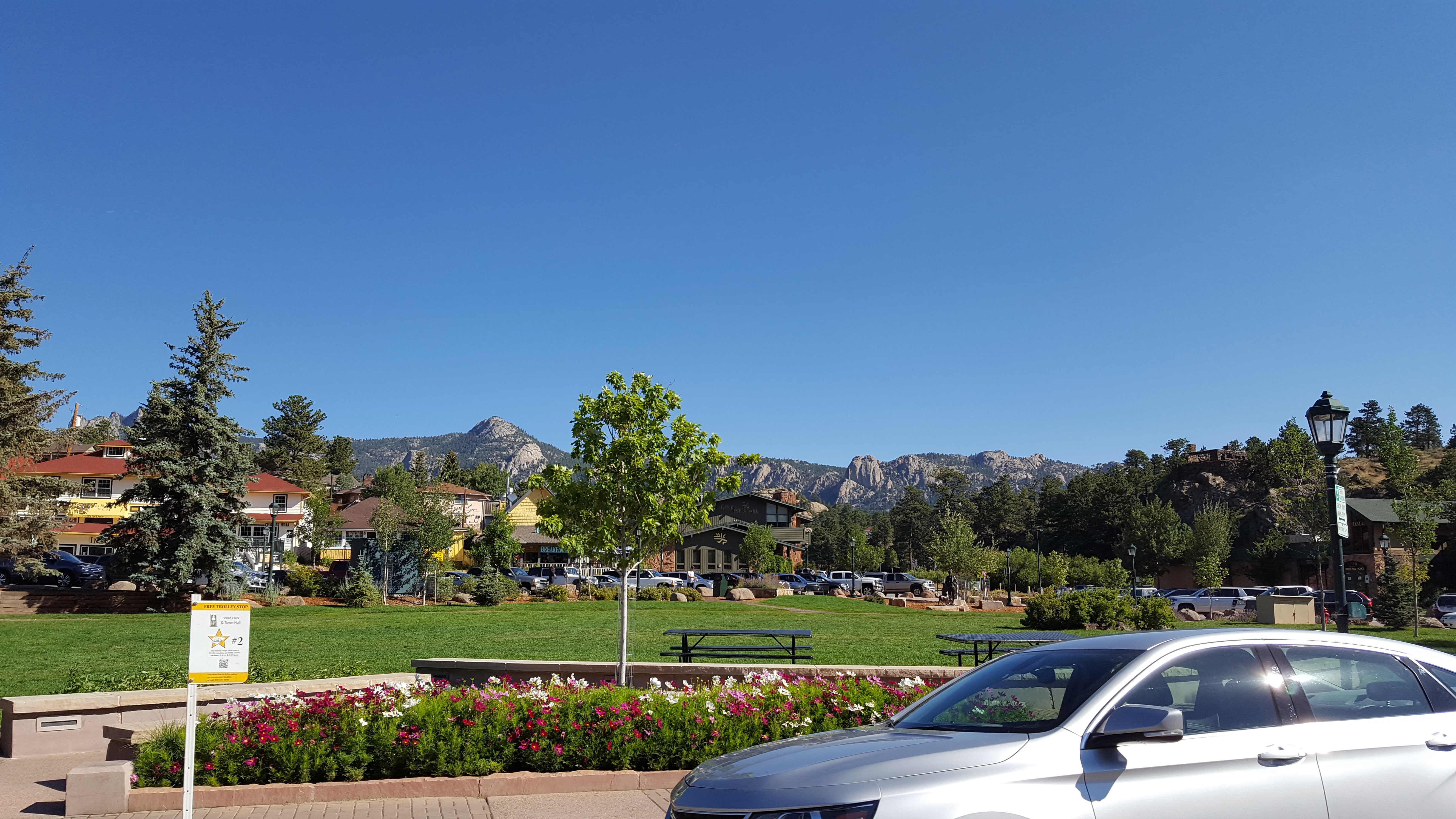
Colorful Estes Park with Lumpy Ridge in the background
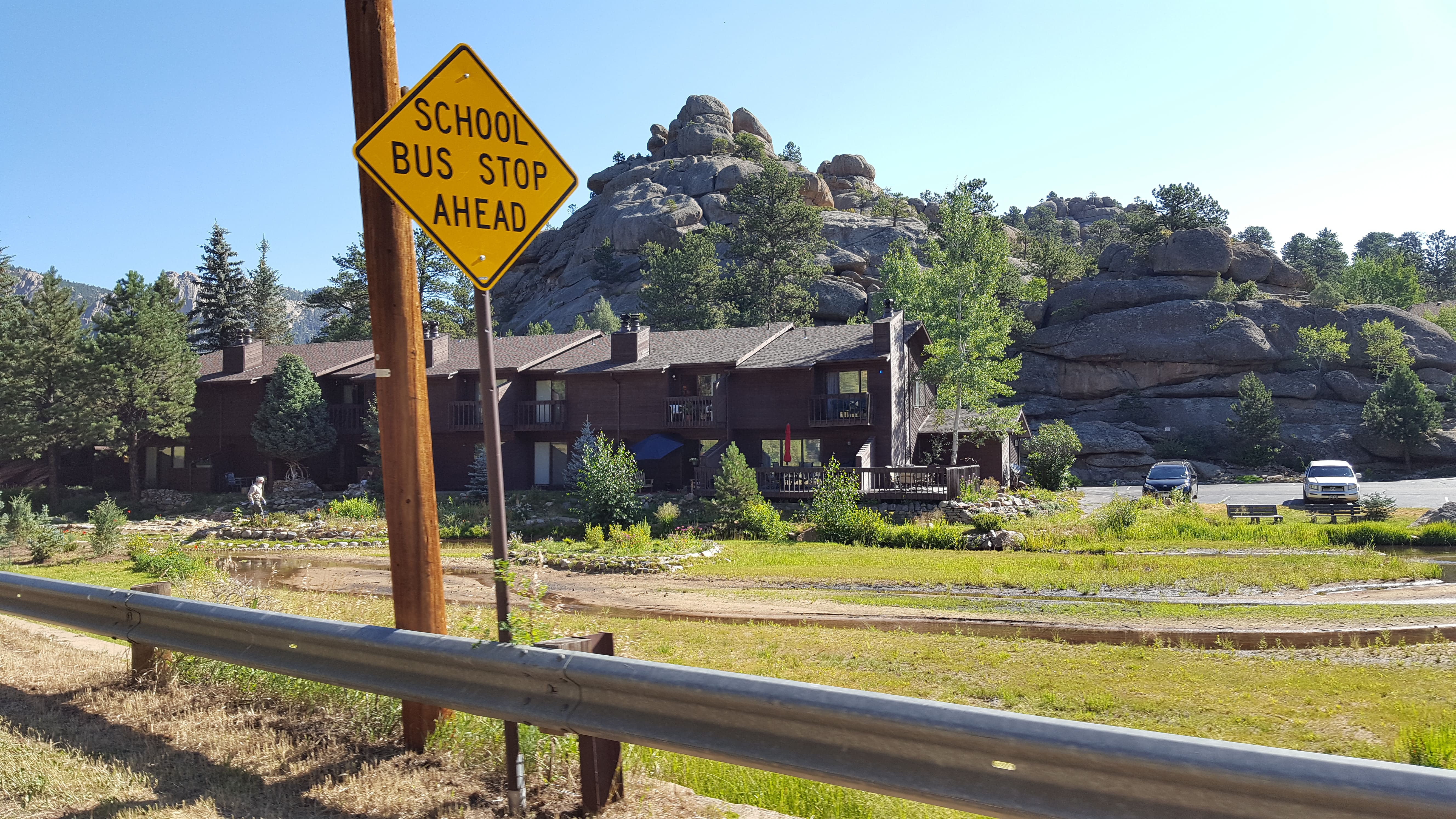
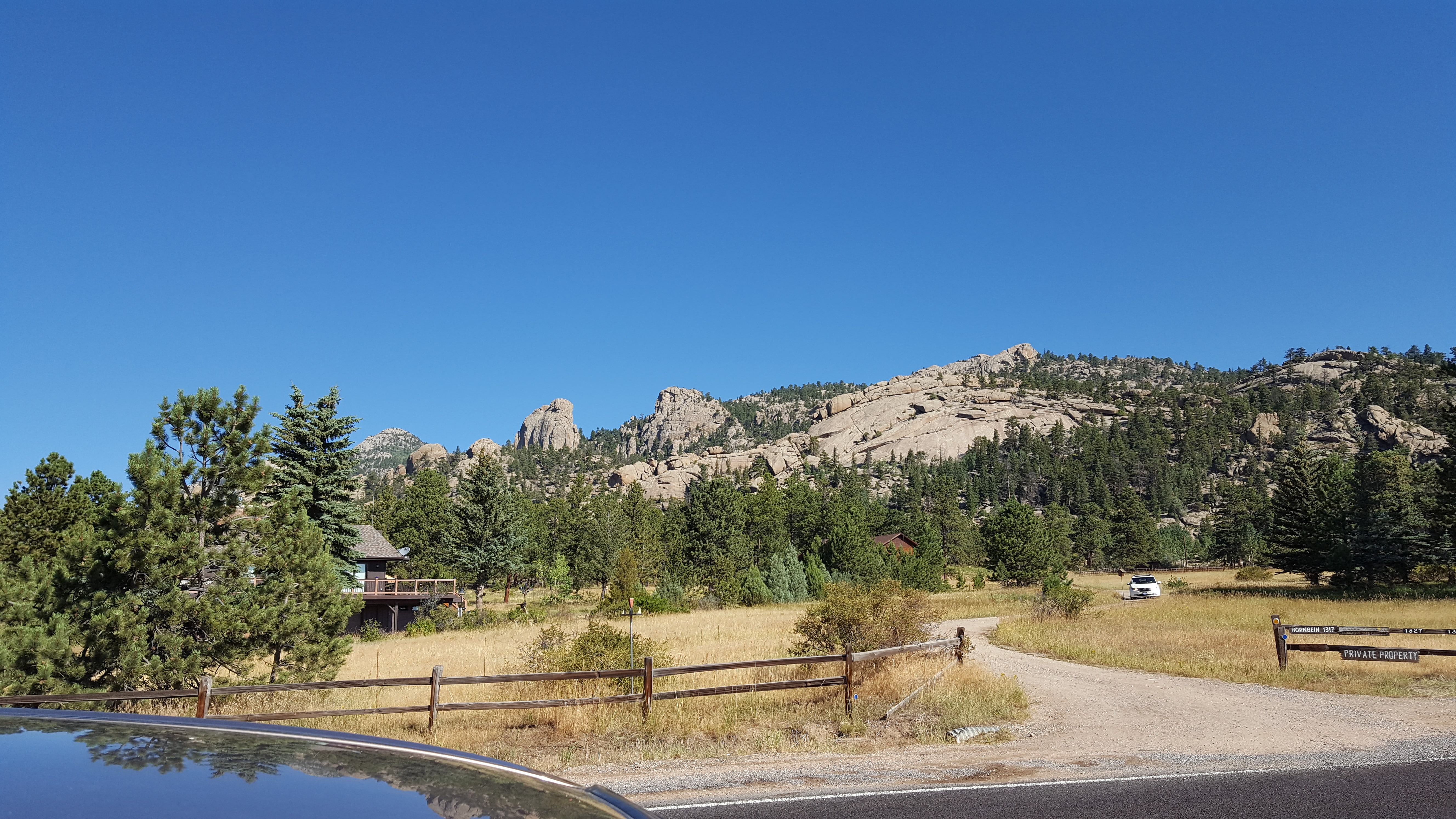
Heading north out of town on MacGregor Avenue, piles of lumpy rock everywhere!
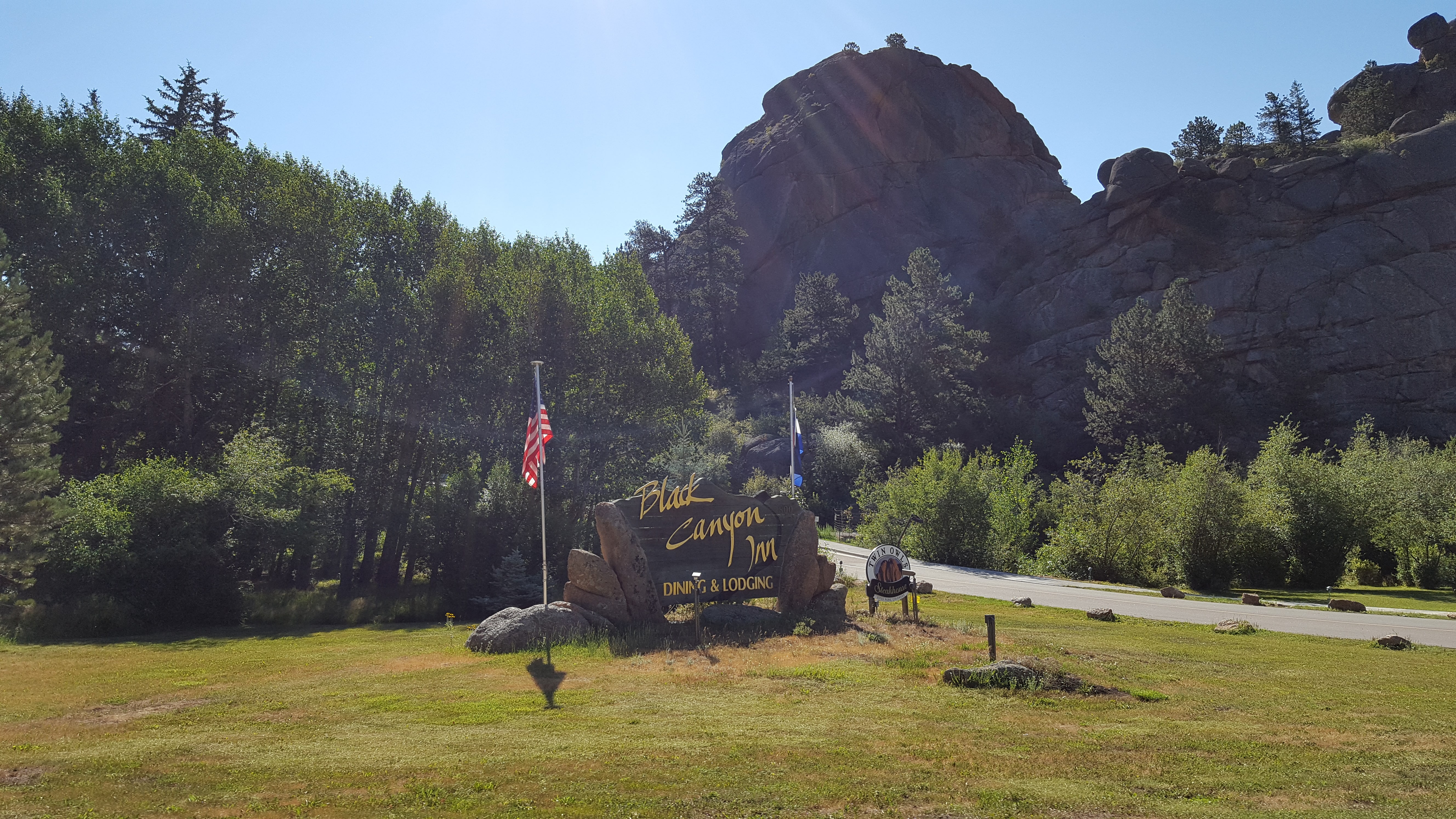
Black Canyon area, heading toward MacGregor Ranch and Lumpy Ridge
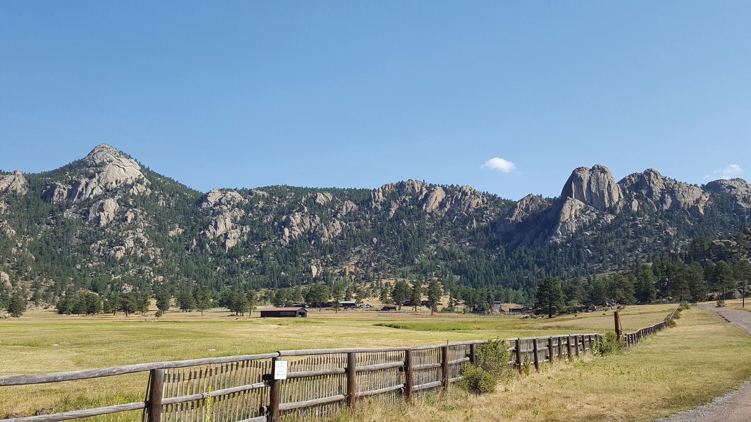
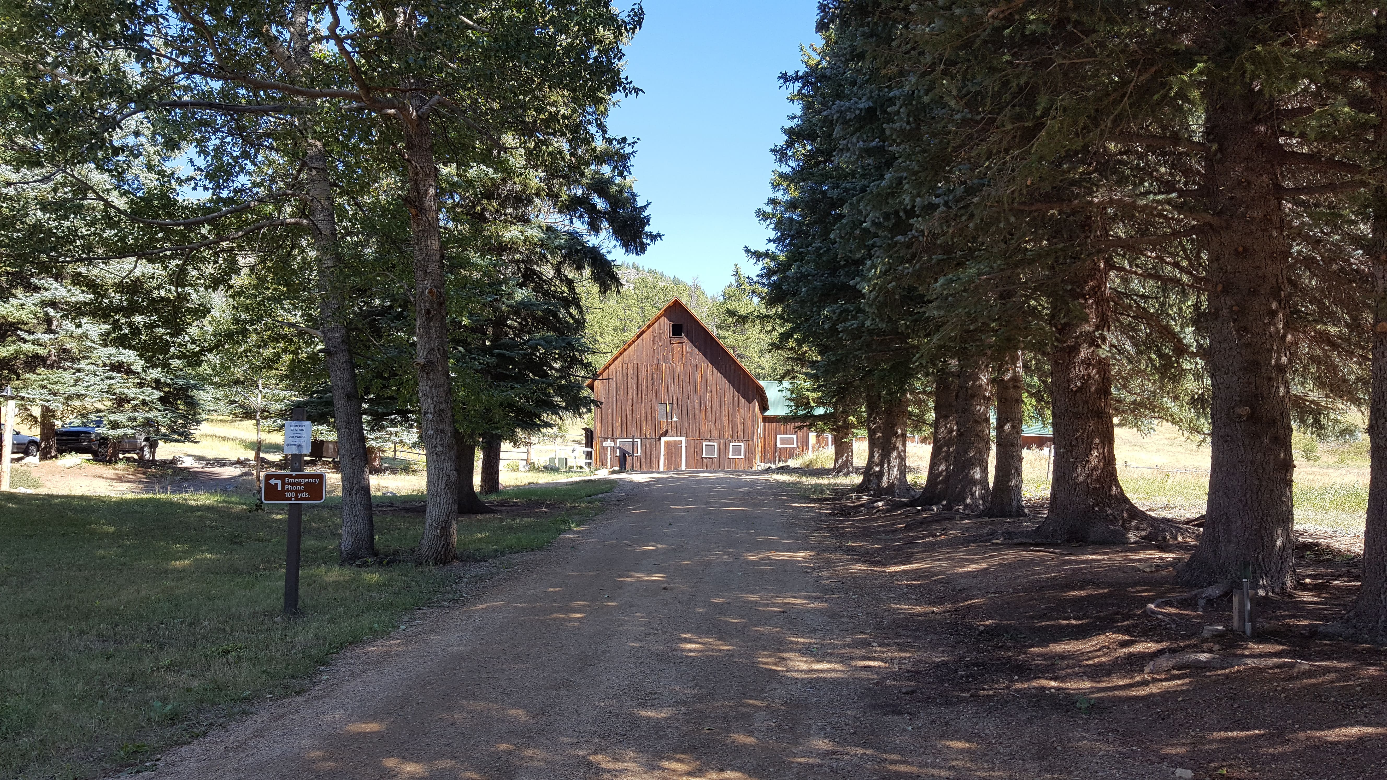
Next, we drove out north of town. We went past MacGregor Ranch, which was established in 1873.
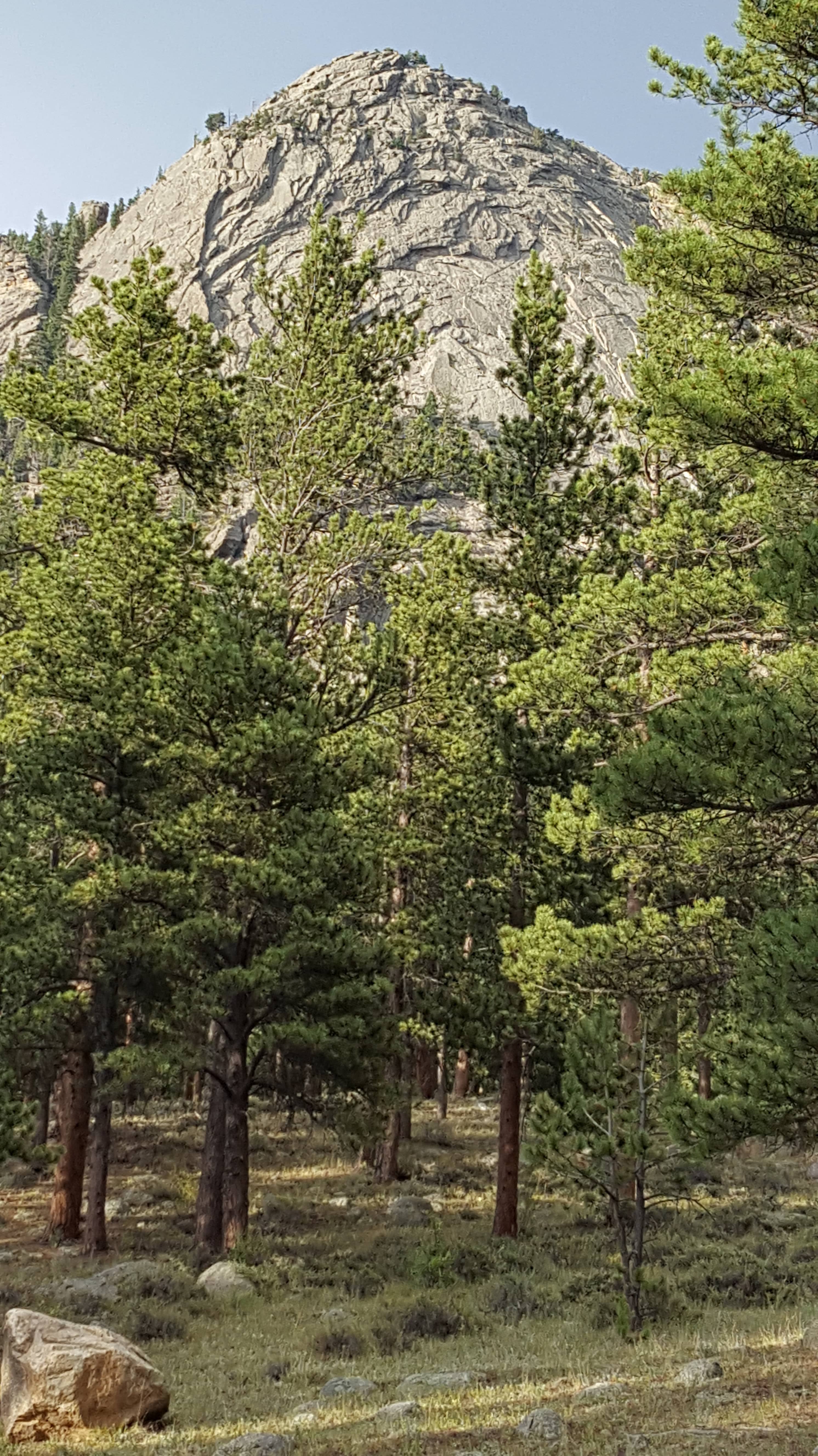
It’s a large ranch located at the foot of the Twin Owls in Lumpy Ridge (masses of granite with uniform structure).
Today, the ranch serves as a working cattle ranch and a youth education center in the beautiful Black Canyon Creek area of Estes Park.
The main ranch house (as well as some of the outside buildings) is now a museum, which we have toured. It’s extremely interesting and well preserved.
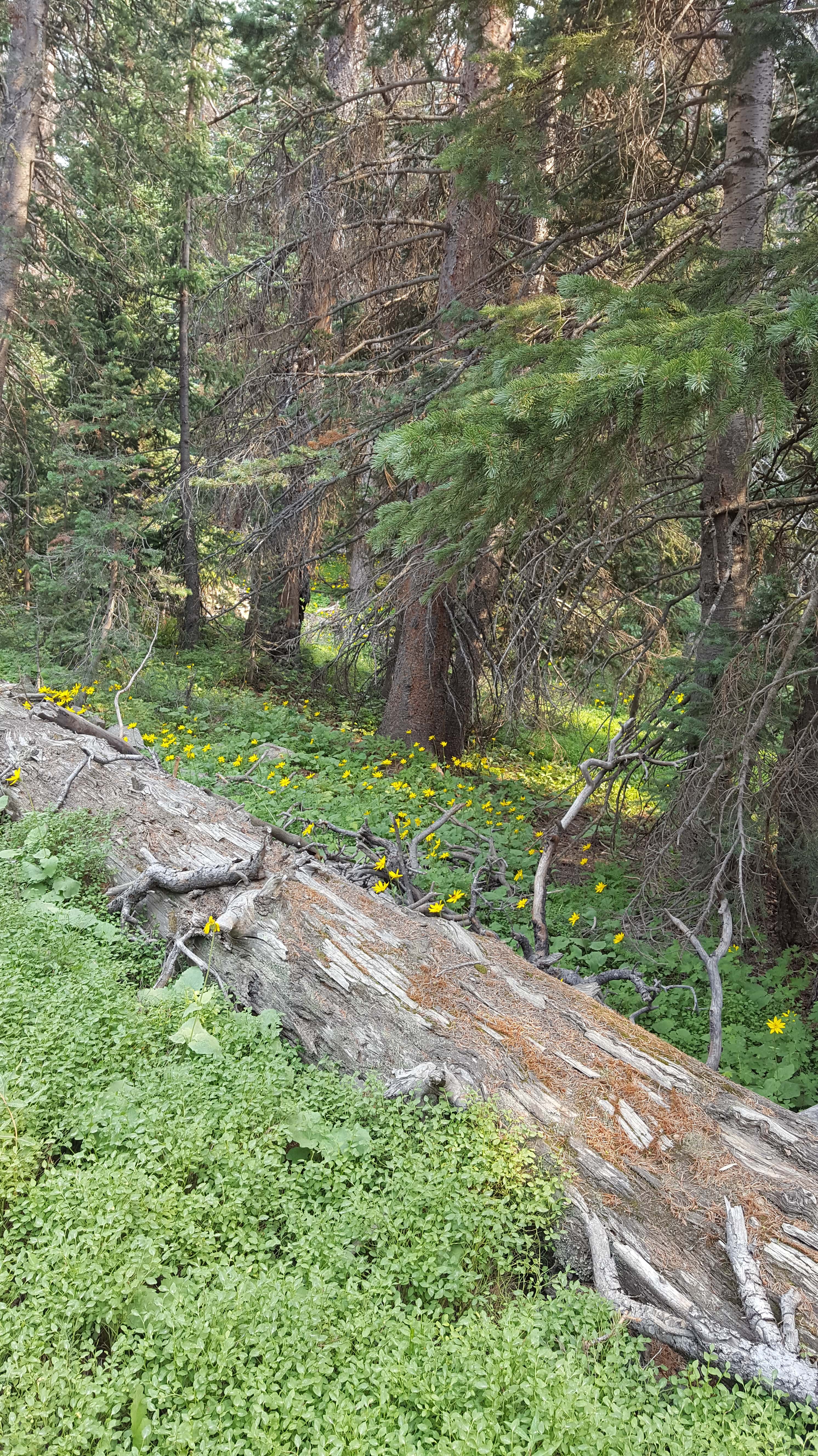
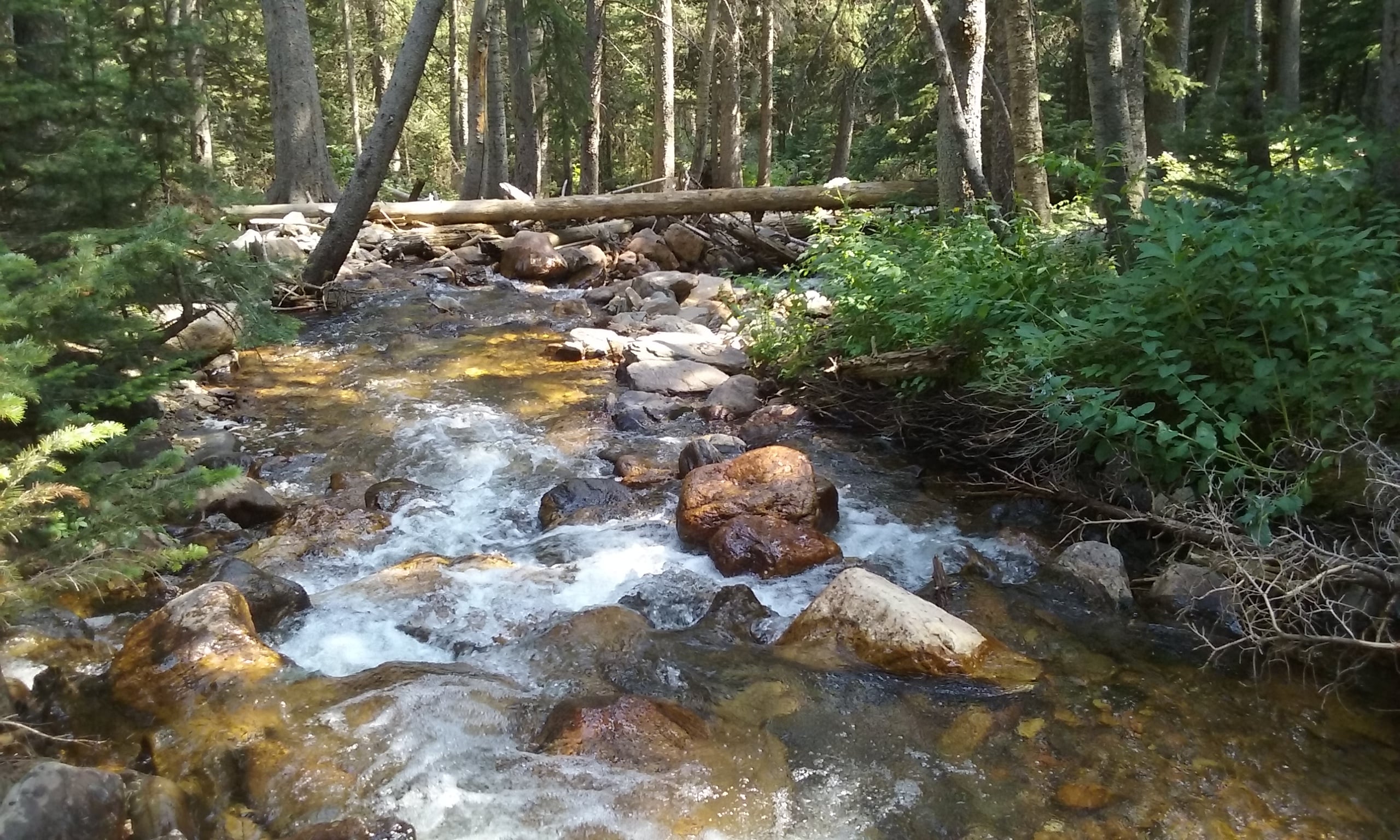
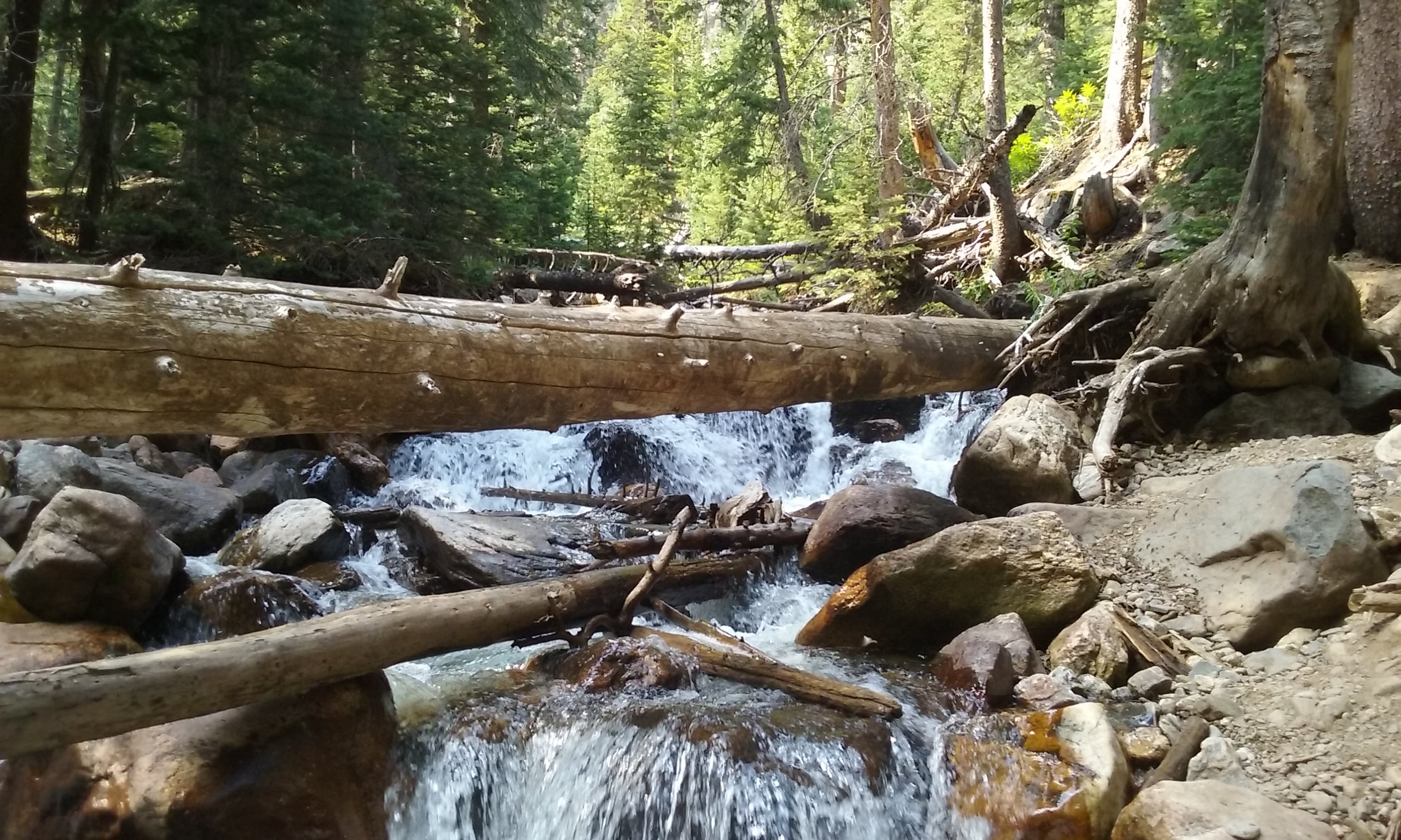
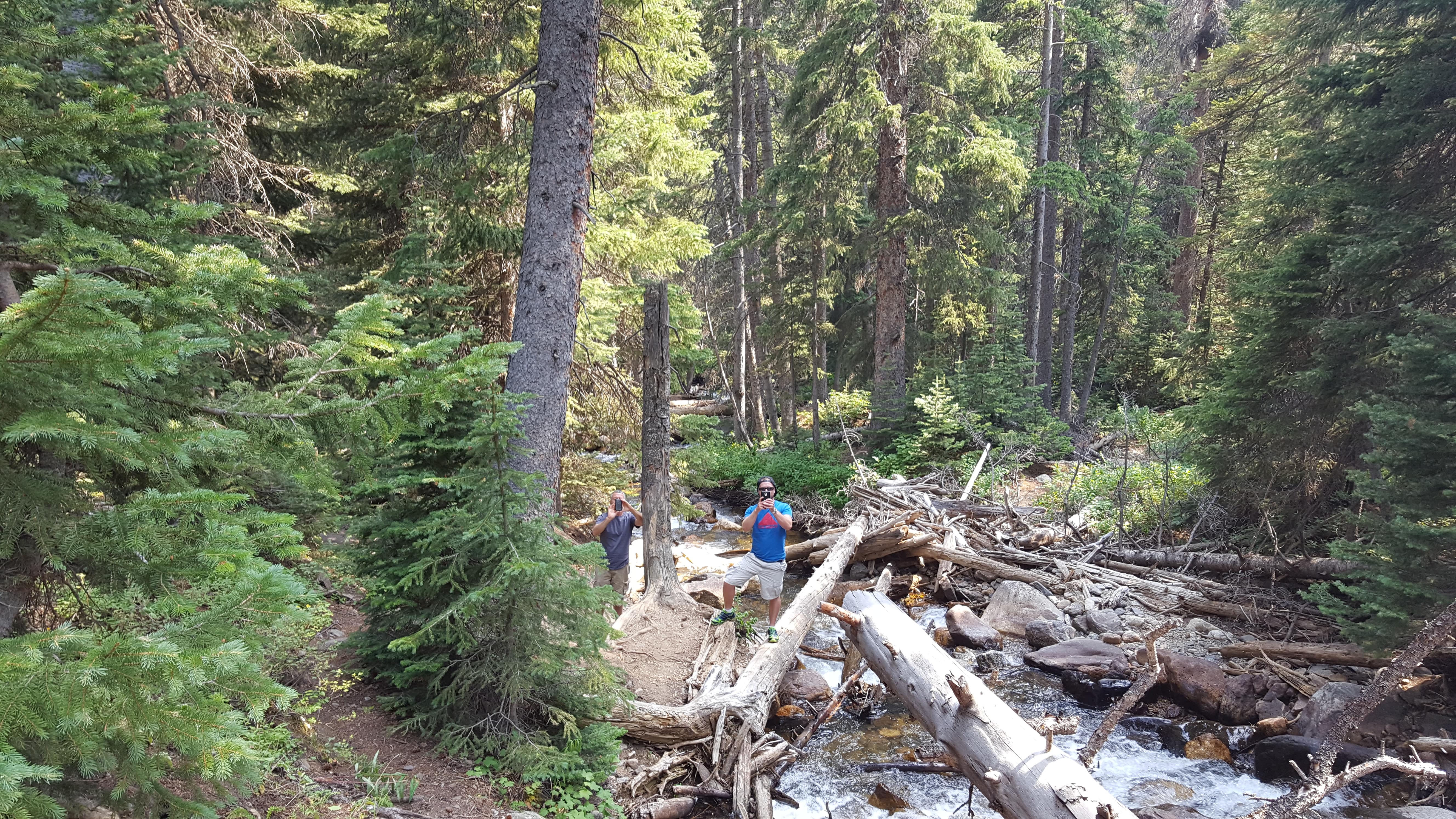
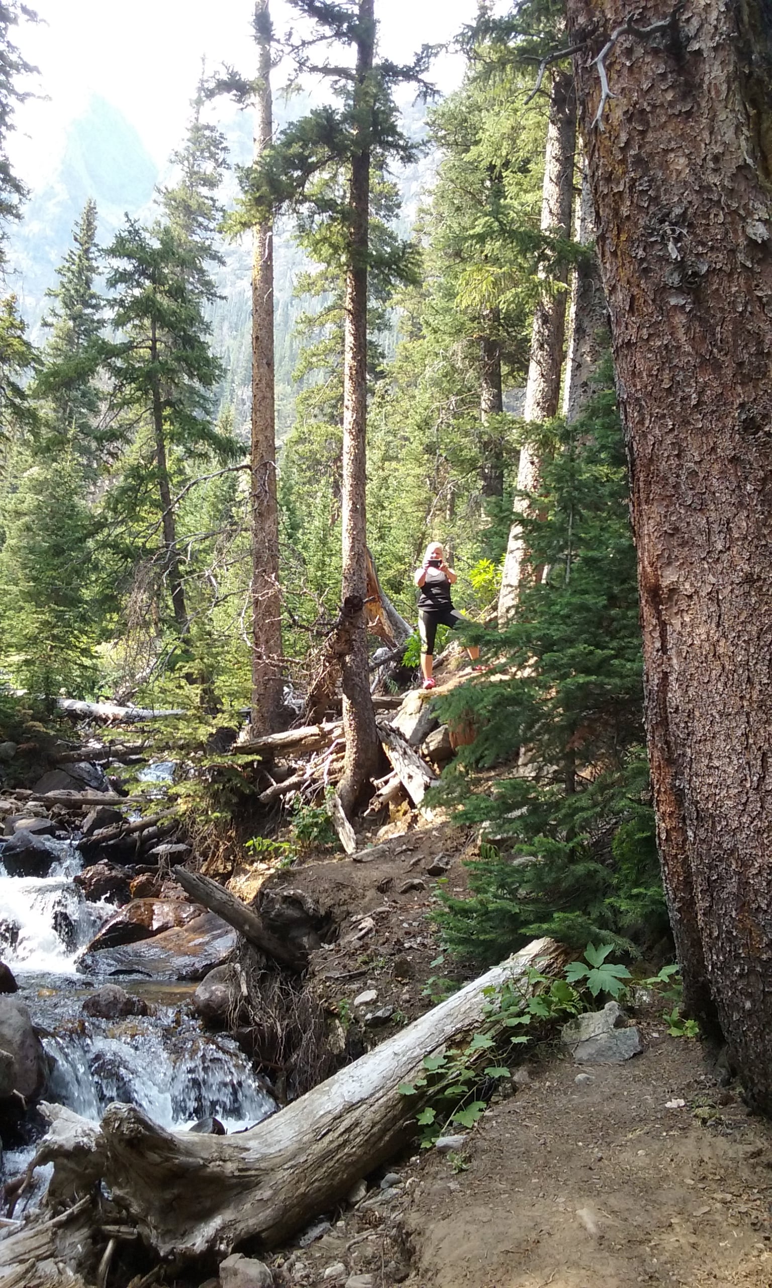
Lumpy Ridge is an awesome place to hike! We have hiked up to Gem Lake twice in the past.
Gem Lake fills a shallow granite depression at the top of Lumpy Ridge and is a great reward after a strenuous hike.
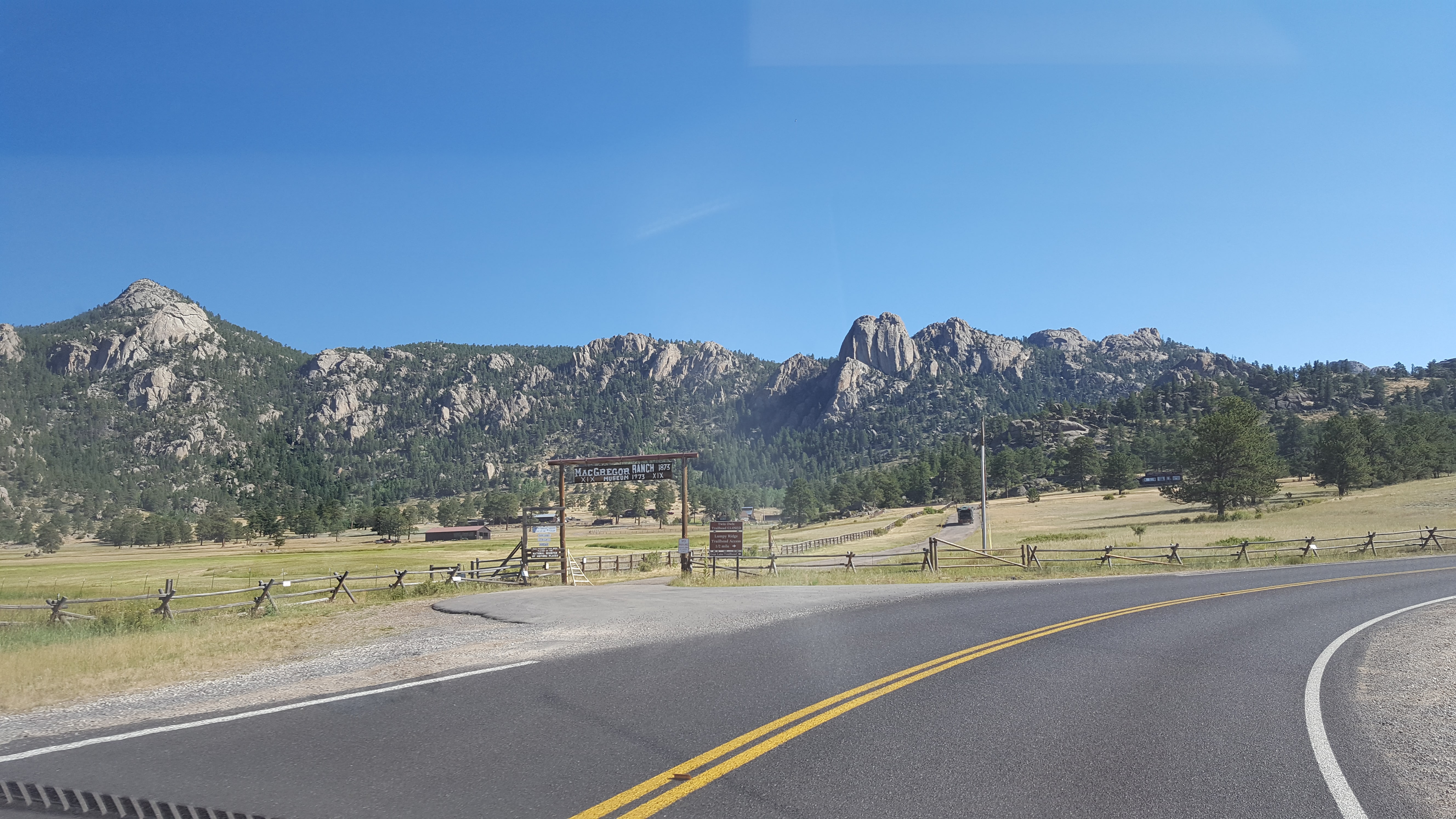
MacGregor Ranch, established 1873
What a perfect location!
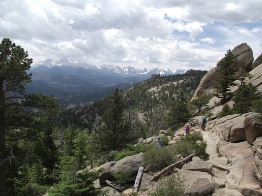
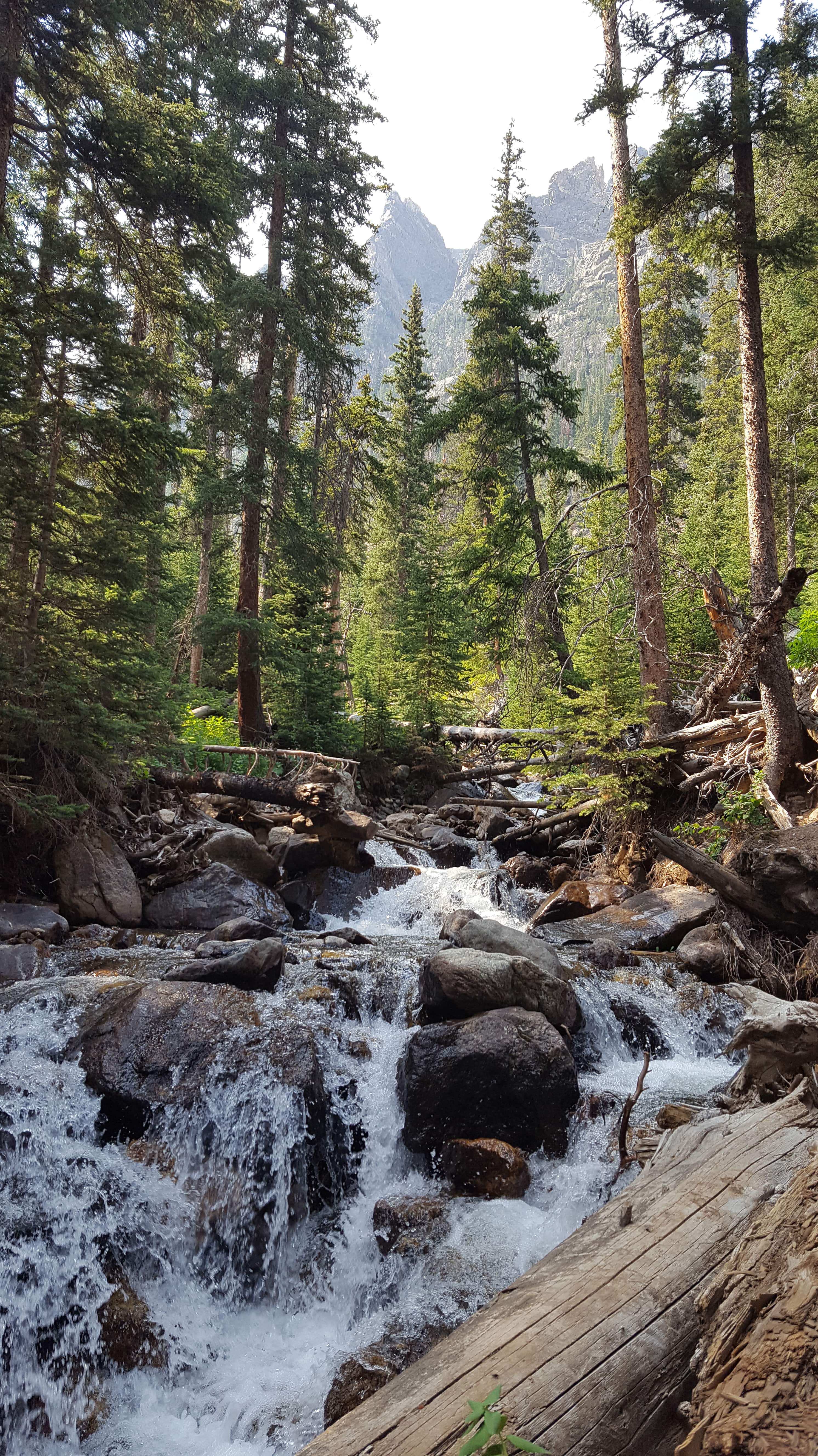
Gem Lake Trail
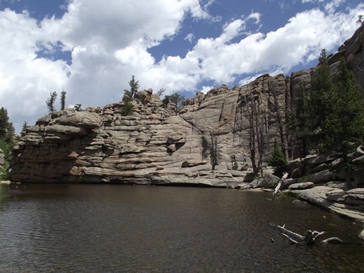
Gem Lake
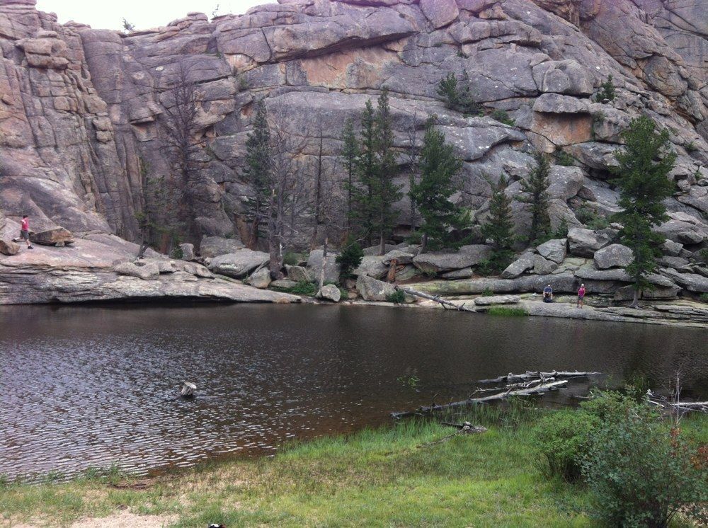
Another view of Gem Lake
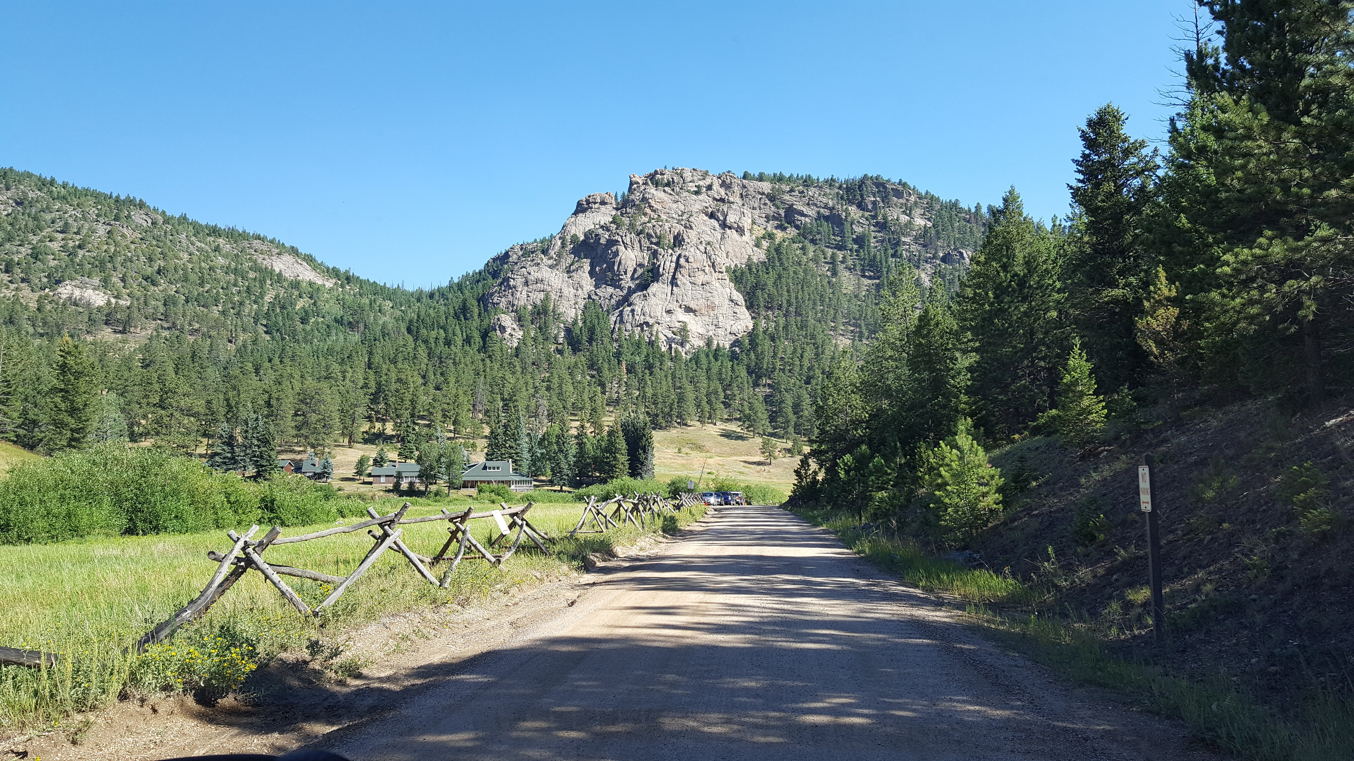
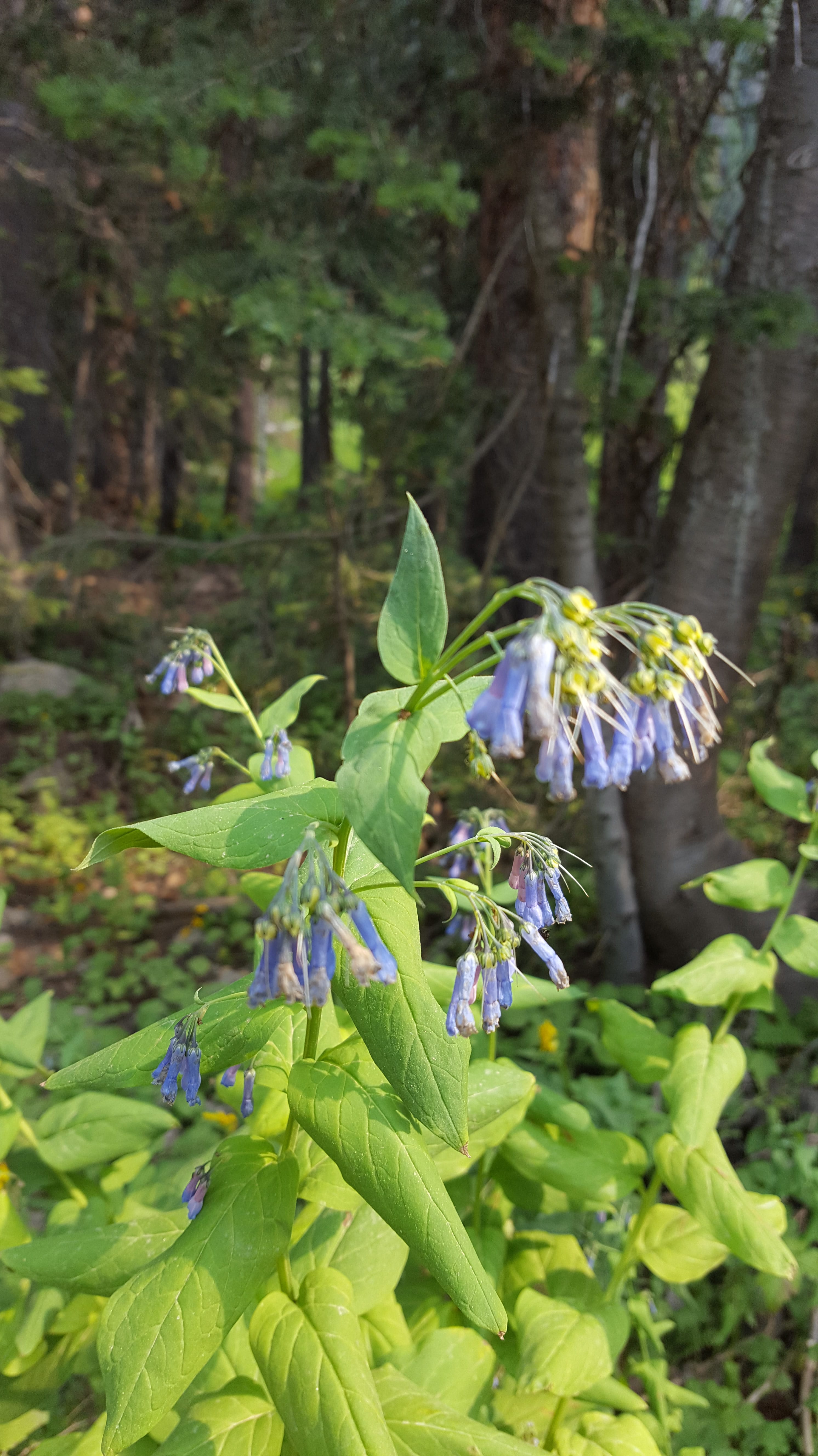
We continued past MacGregor Ranch onto Devil’s Gulch Road. This drive has some of my favorite scenery in the Estes area, because of the stunning mountain views and the unique rock formations. There’ll be more pictures of Lumpy Ridge on a later day.
New discovery in the Park
We followed a sign for McGraw Ranch (which was one of the 99 places to find in our Estes book) and drove way back on a winding rock road, which dead-ended at Cow Creek Trailhead.
Rick and I didn’t even know this trail existed! And even though it’s so far out, this area is still a part of Rocky Mountain Nat’l Park.
(Later in the week, we went back and hiked it, so you’ll hear all about it. 🙂 )
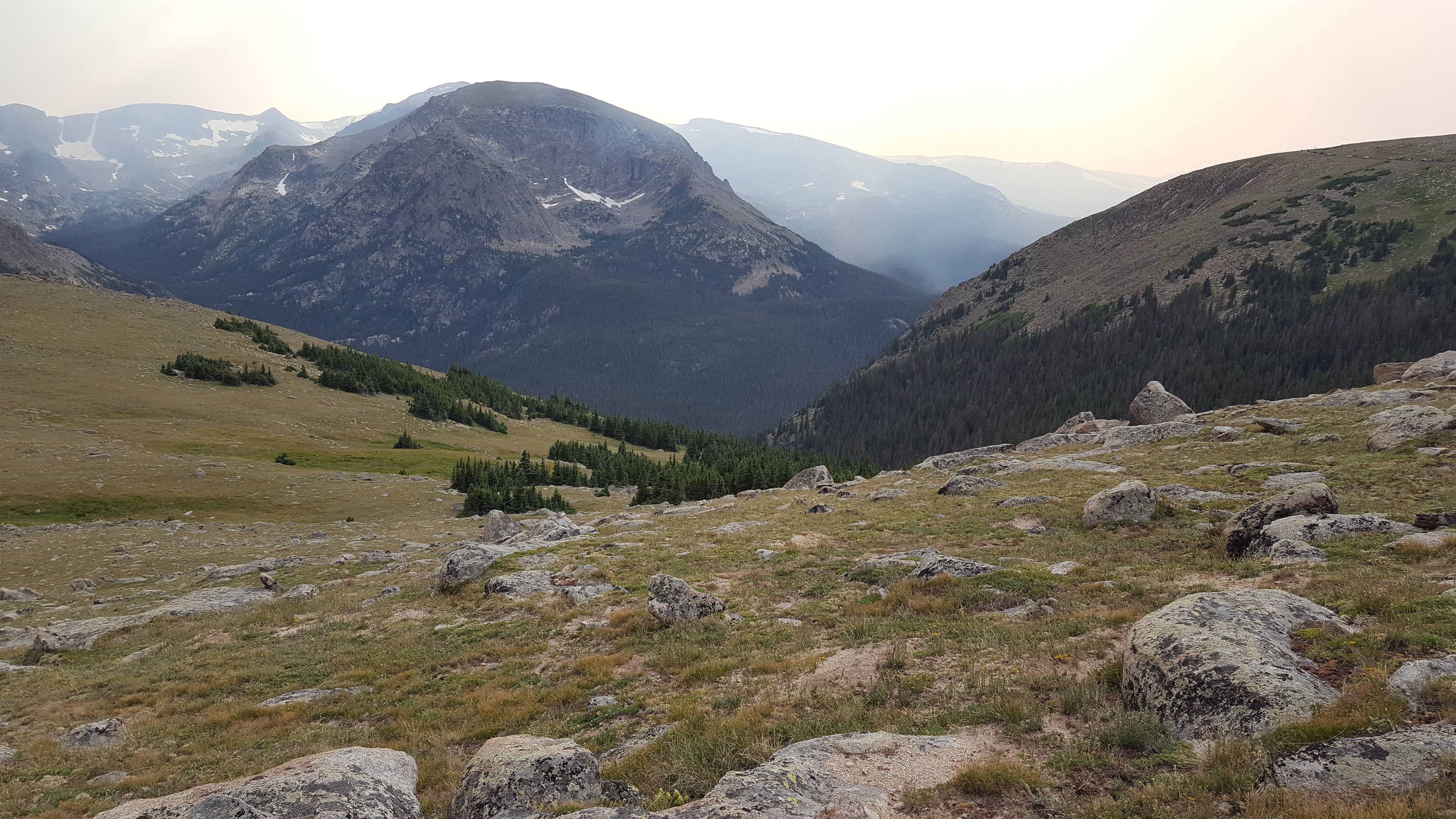
View of Mummy Range
Nice backyard! 🙂
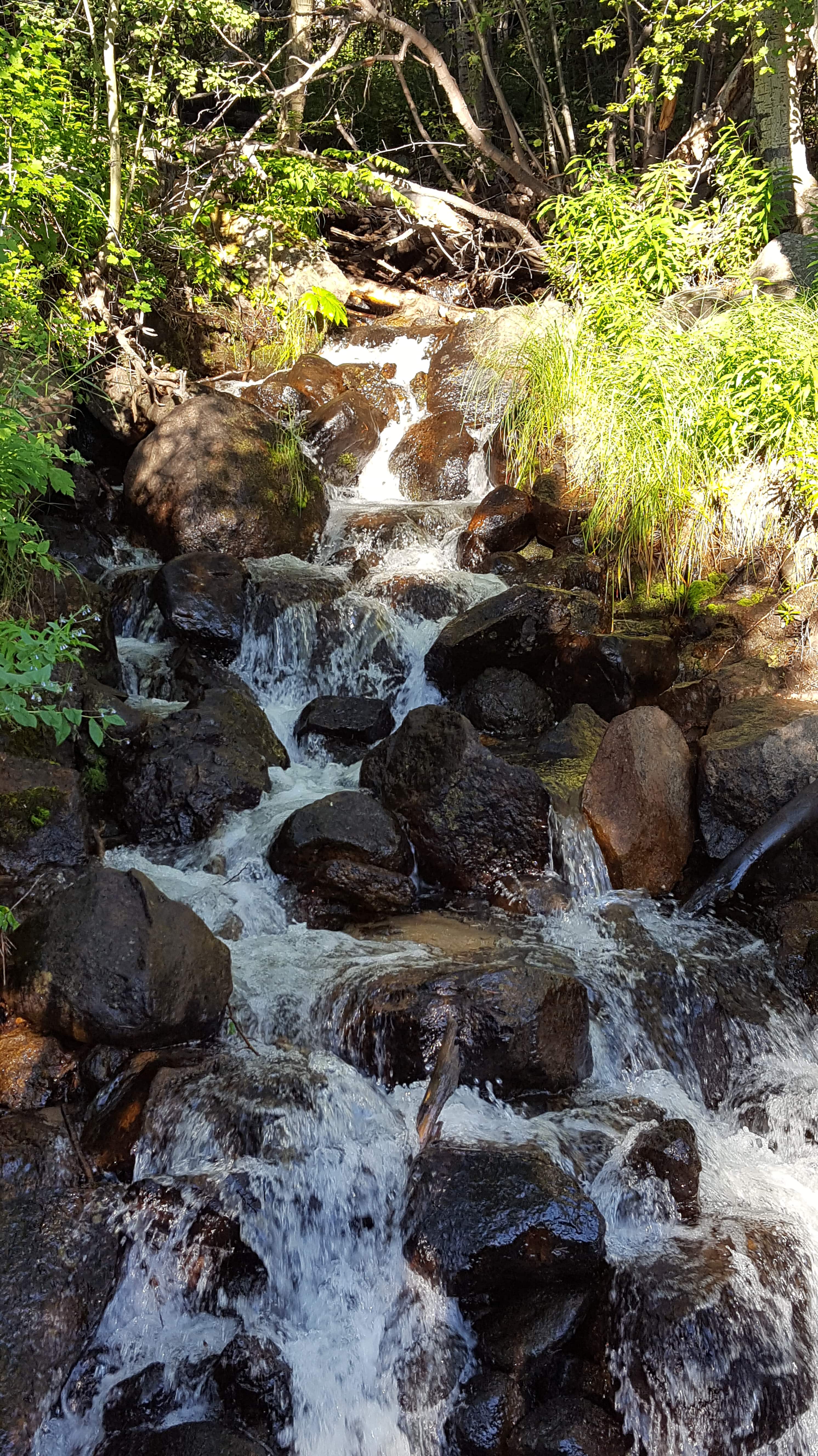
Breathtaking scenery
Nearing McGraw Ranch
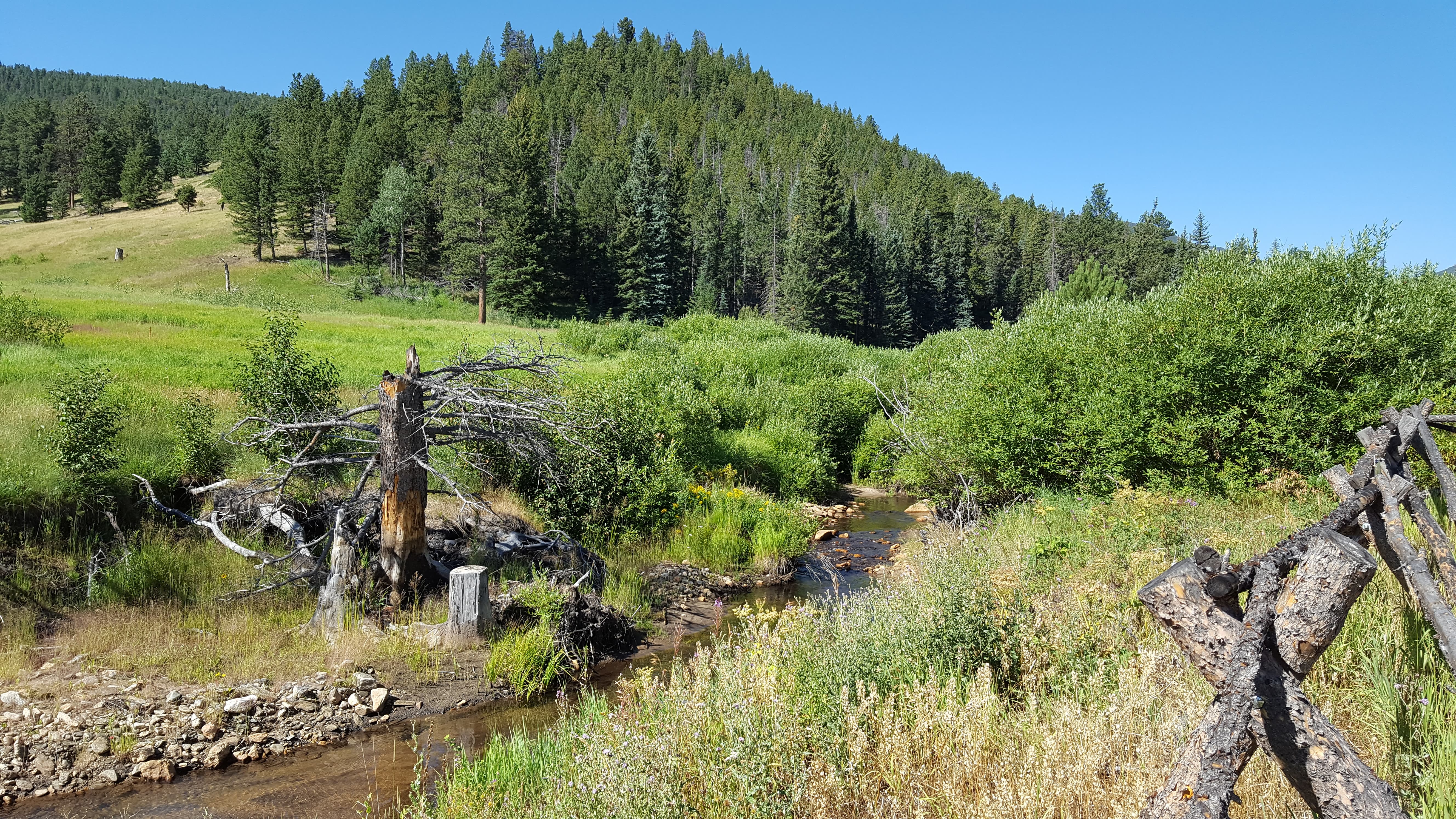
Cow Creek at McGraw Ranch
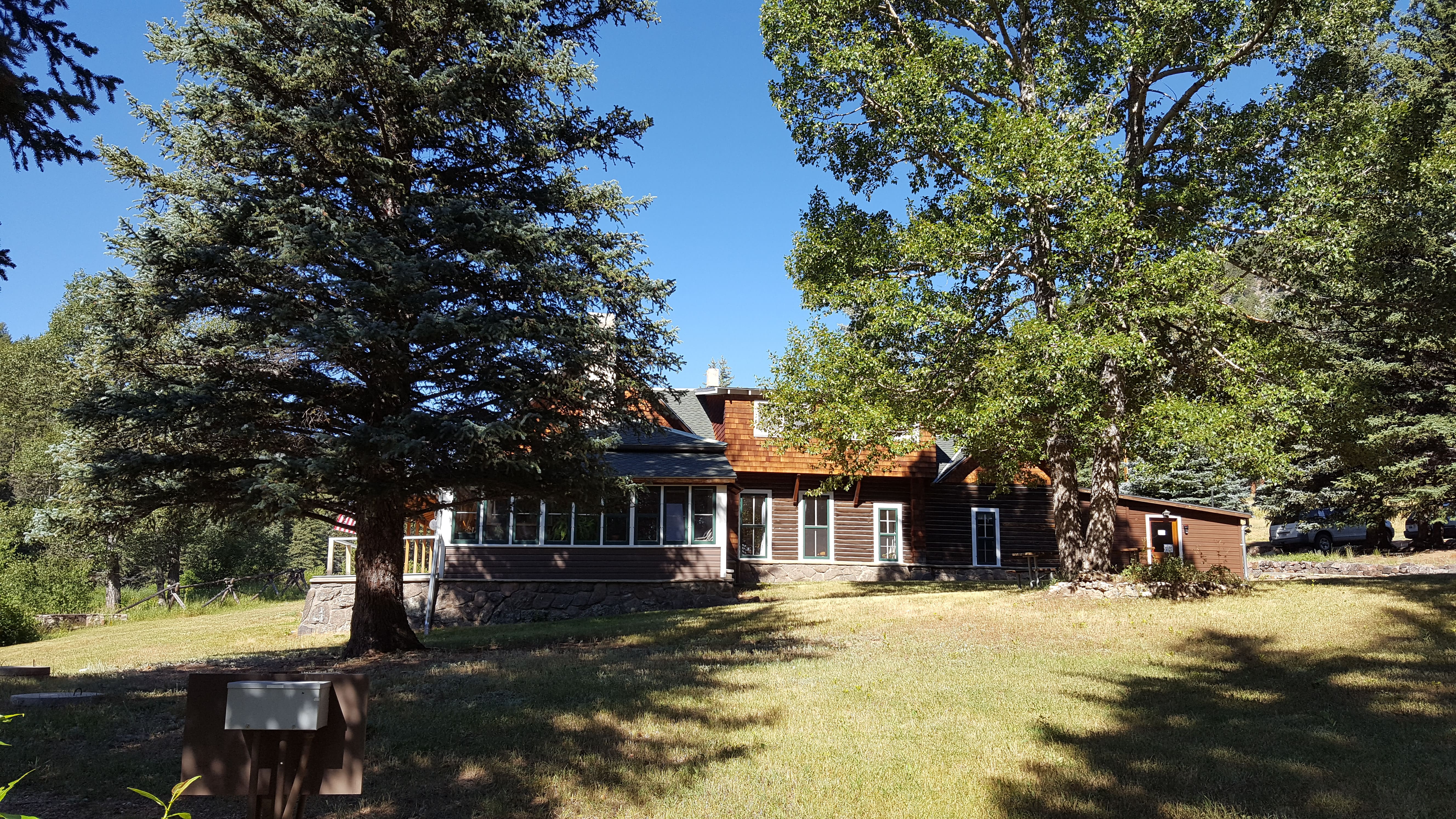
McGraw Ranch house
McGraw Ranch barn/start of Cow Creek Trailhead
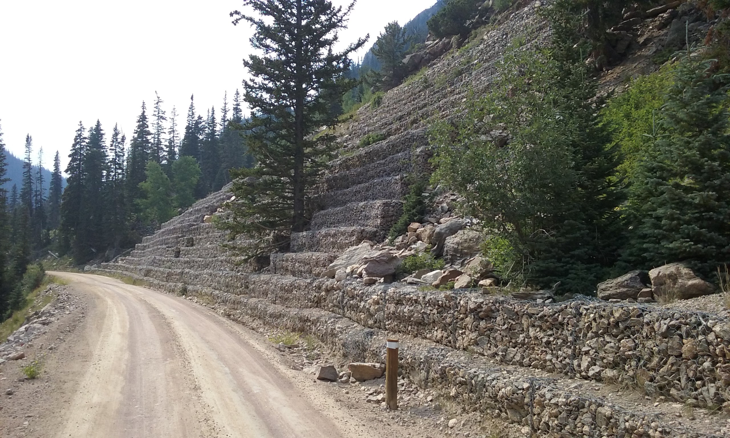
View from Dry Gulch Road
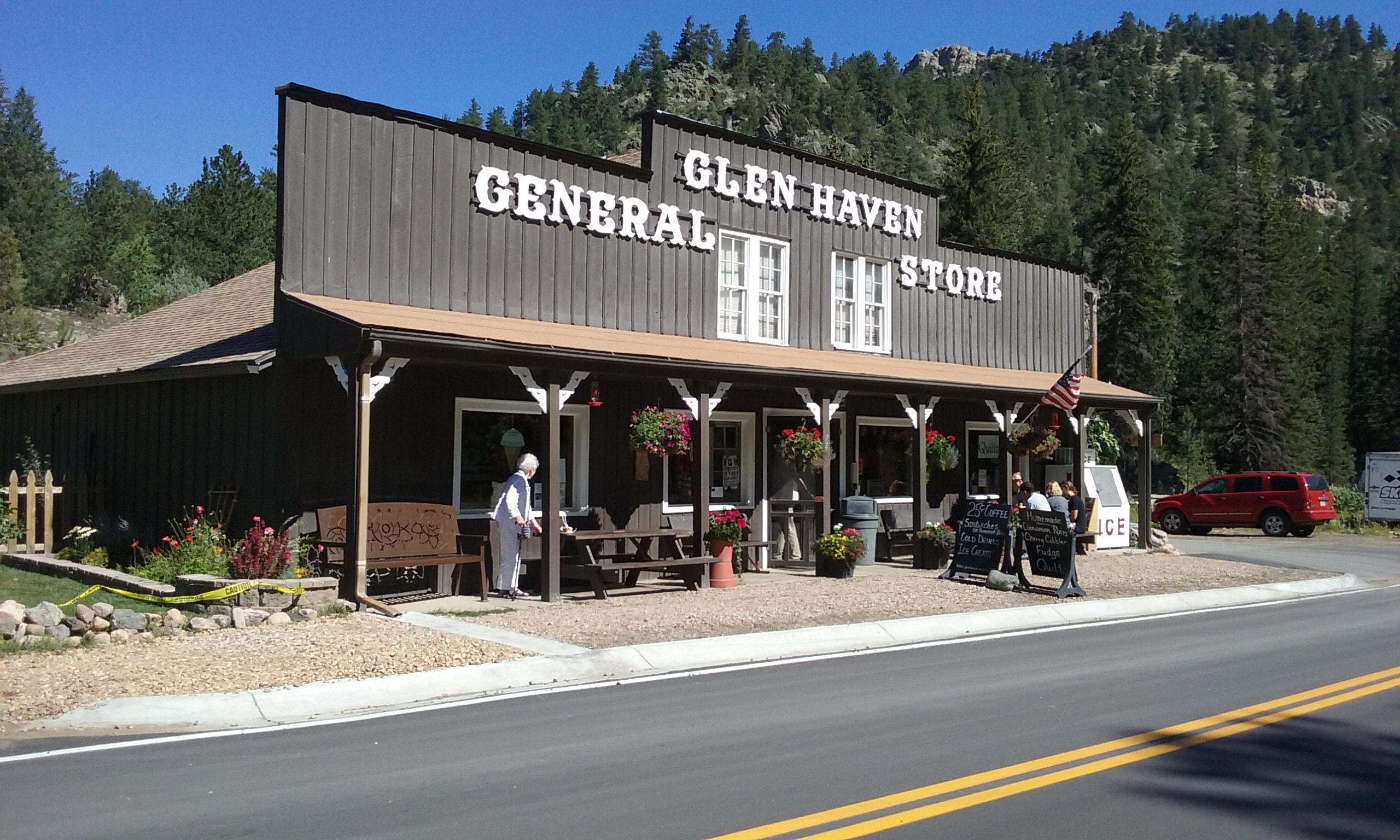
Giant Cinnamon Rolls
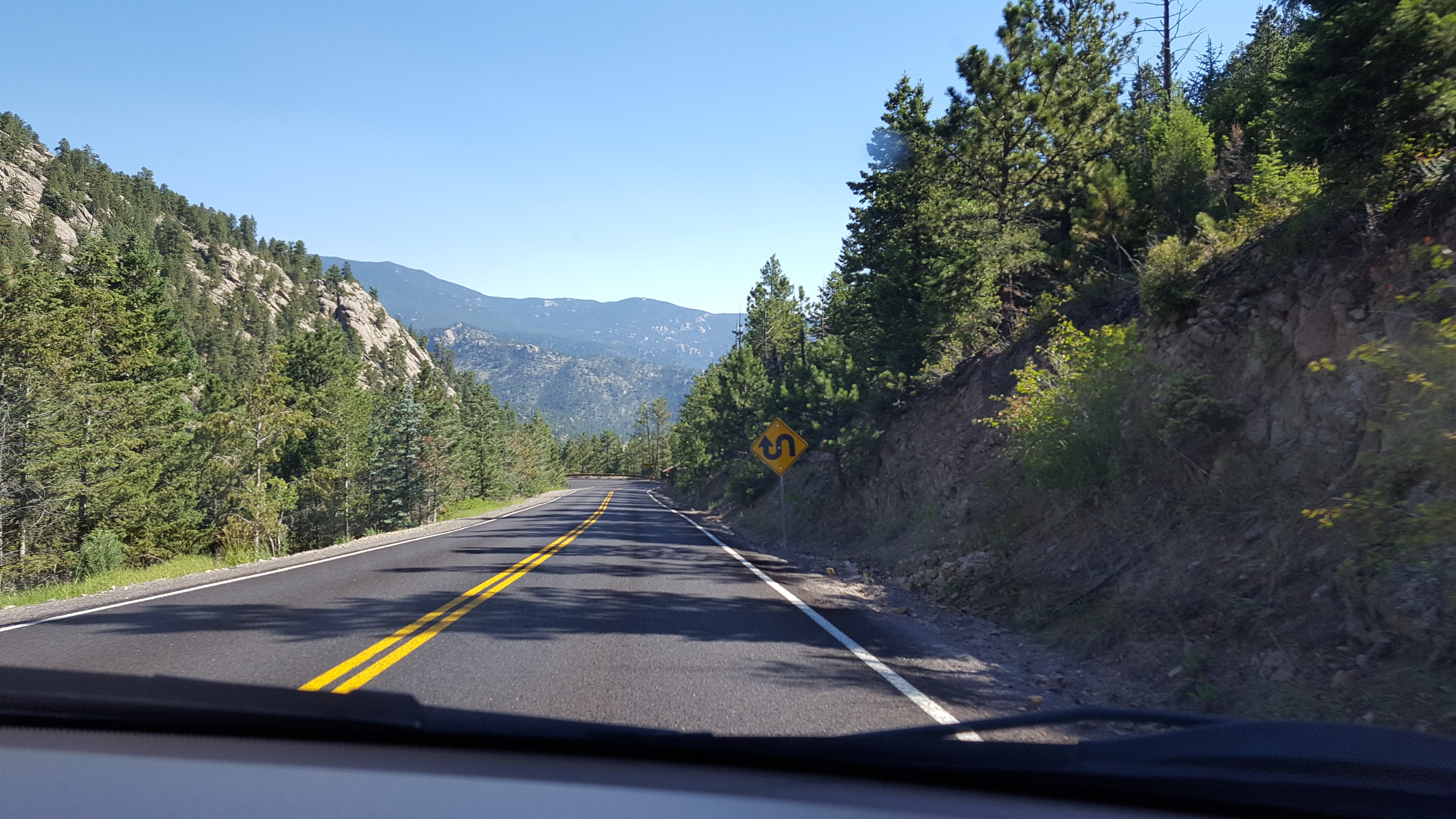
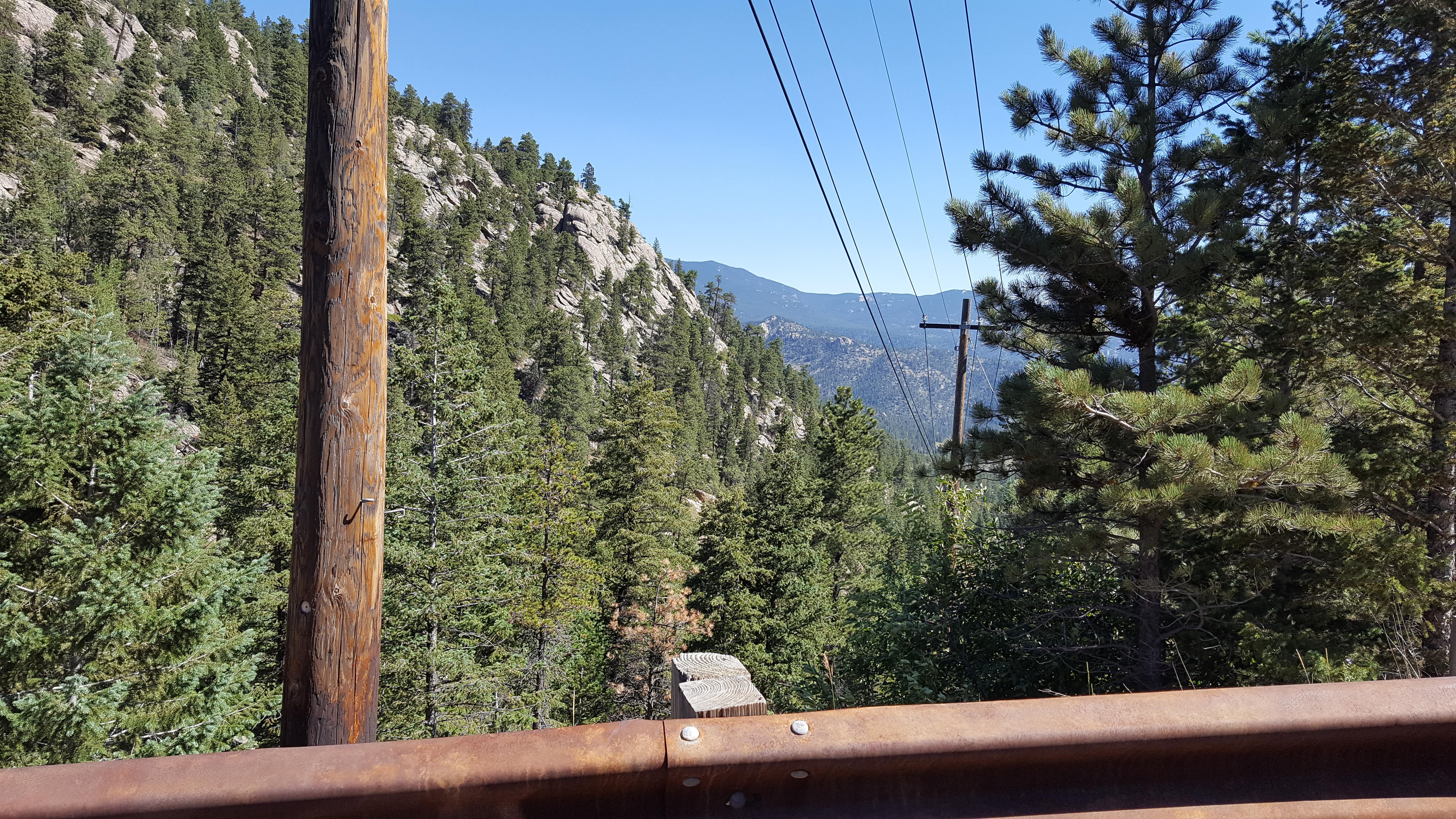
Continuing on Devil’s Gulch Road (a descending hairpin-drive through Roosevelt National Forest),
the quaint little town of Glen Haven greeted us.
Known for its huge and delicious cinnamon rolls, we ordered one for later and shared it with Luke.
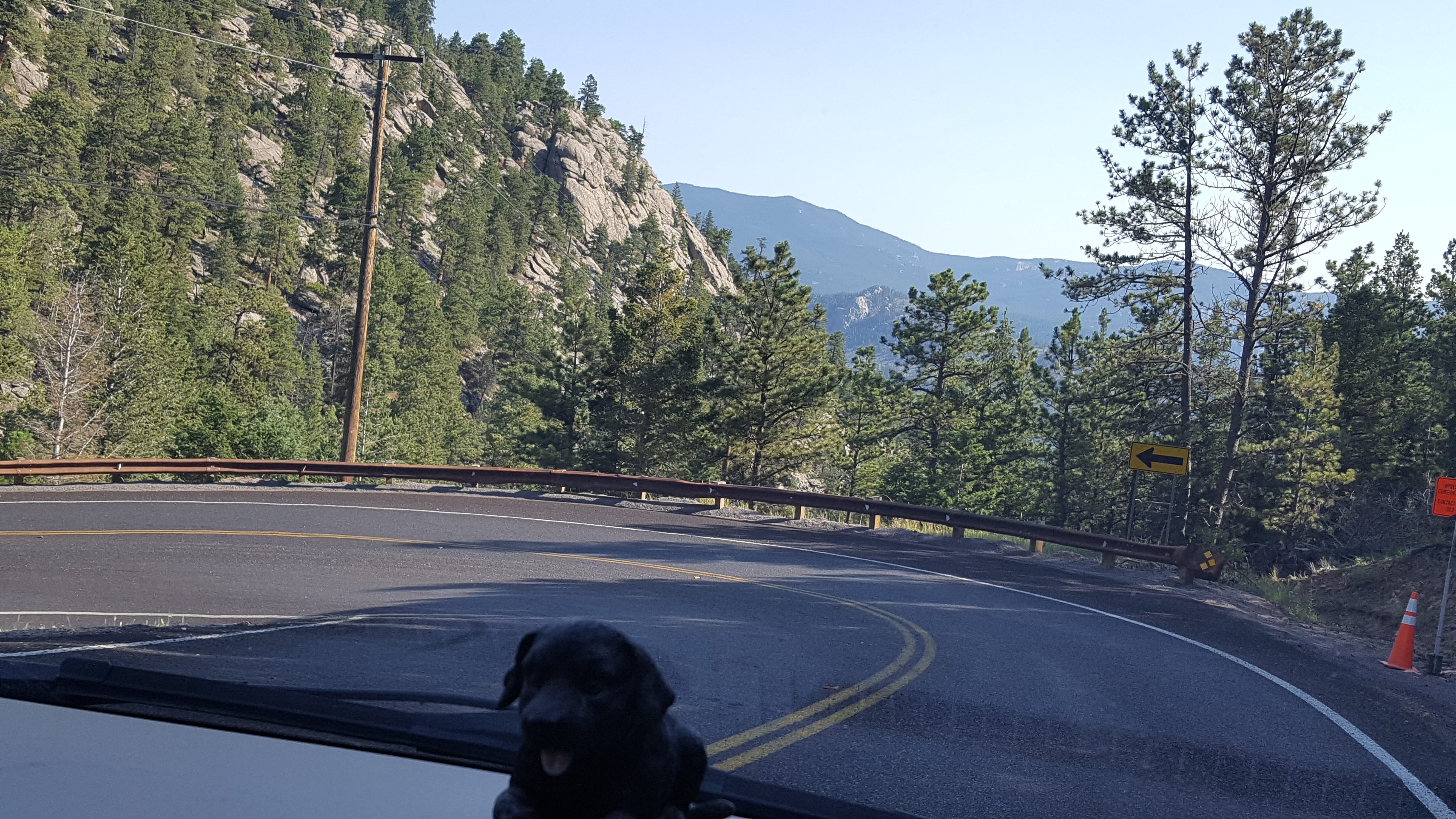
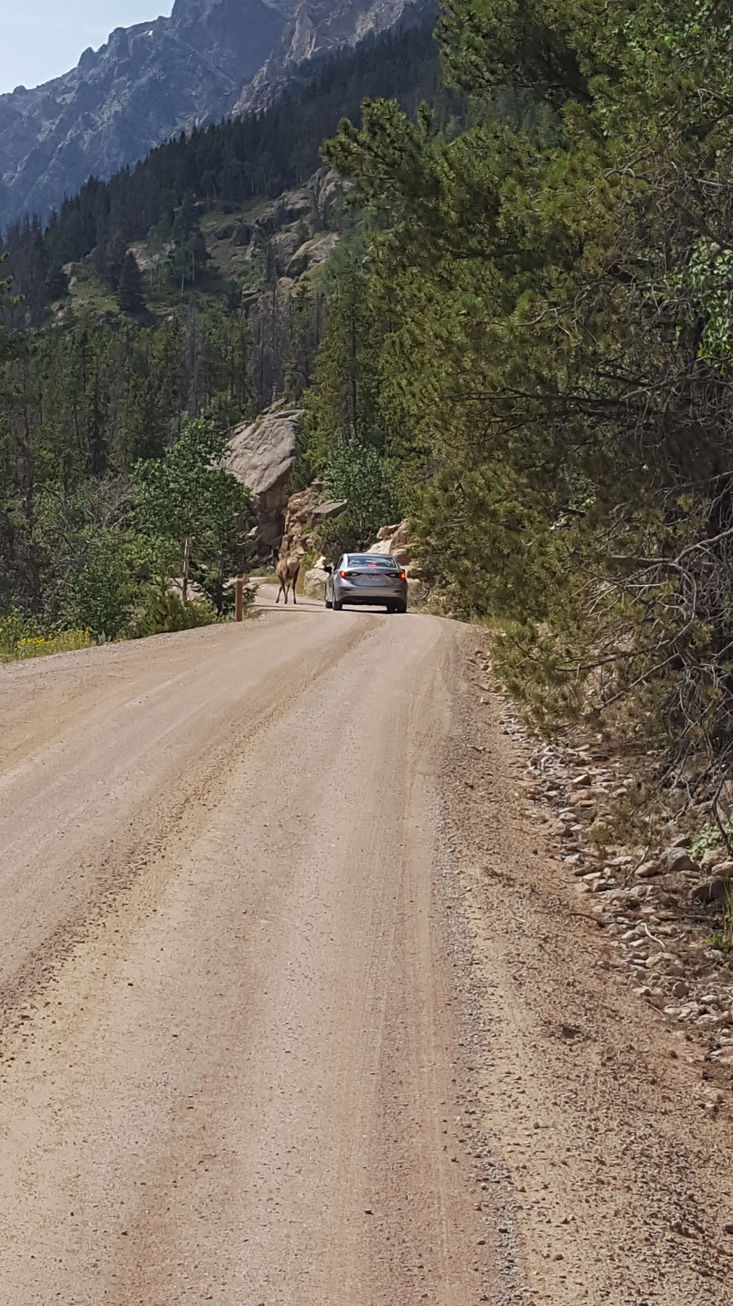
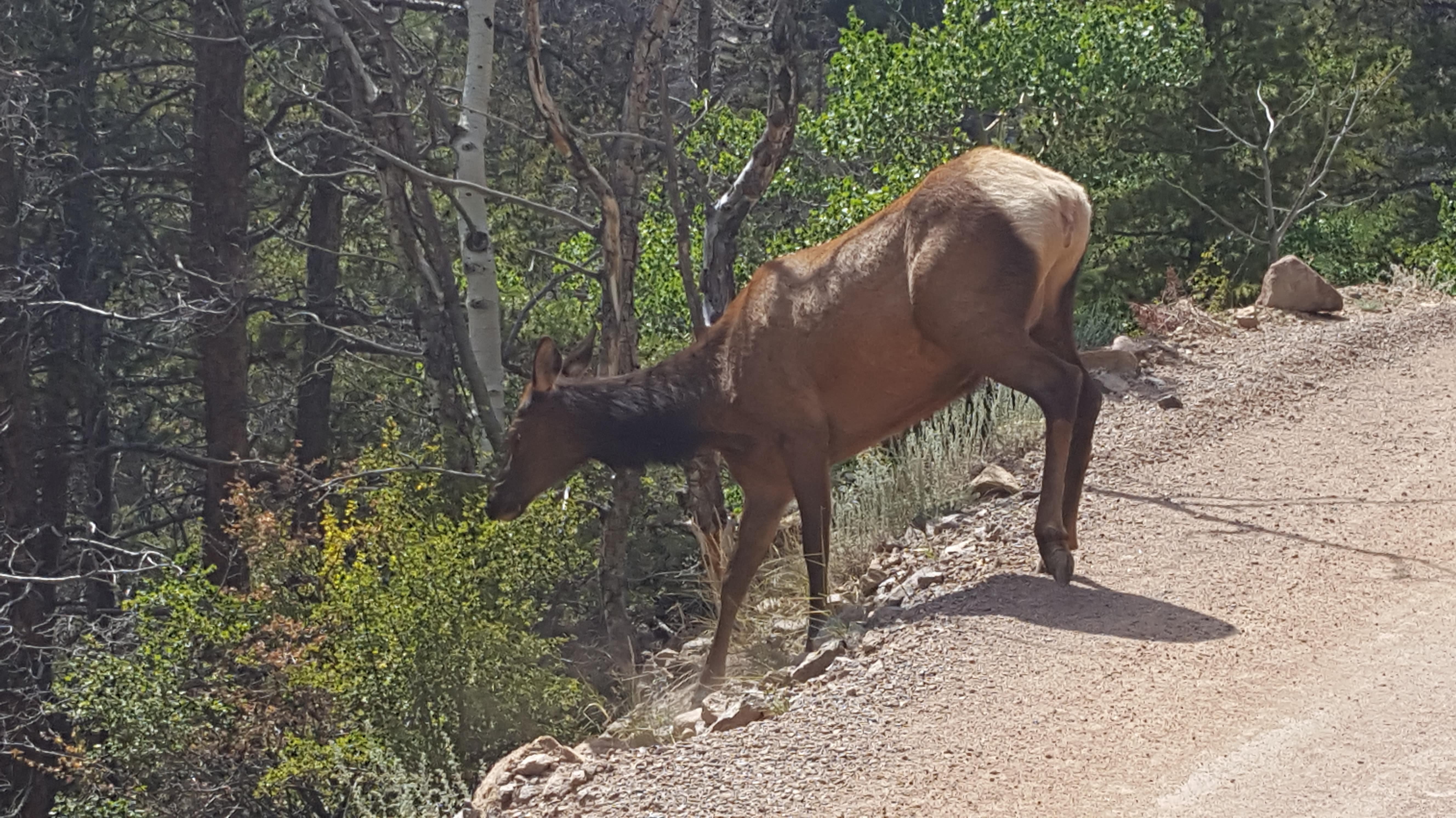
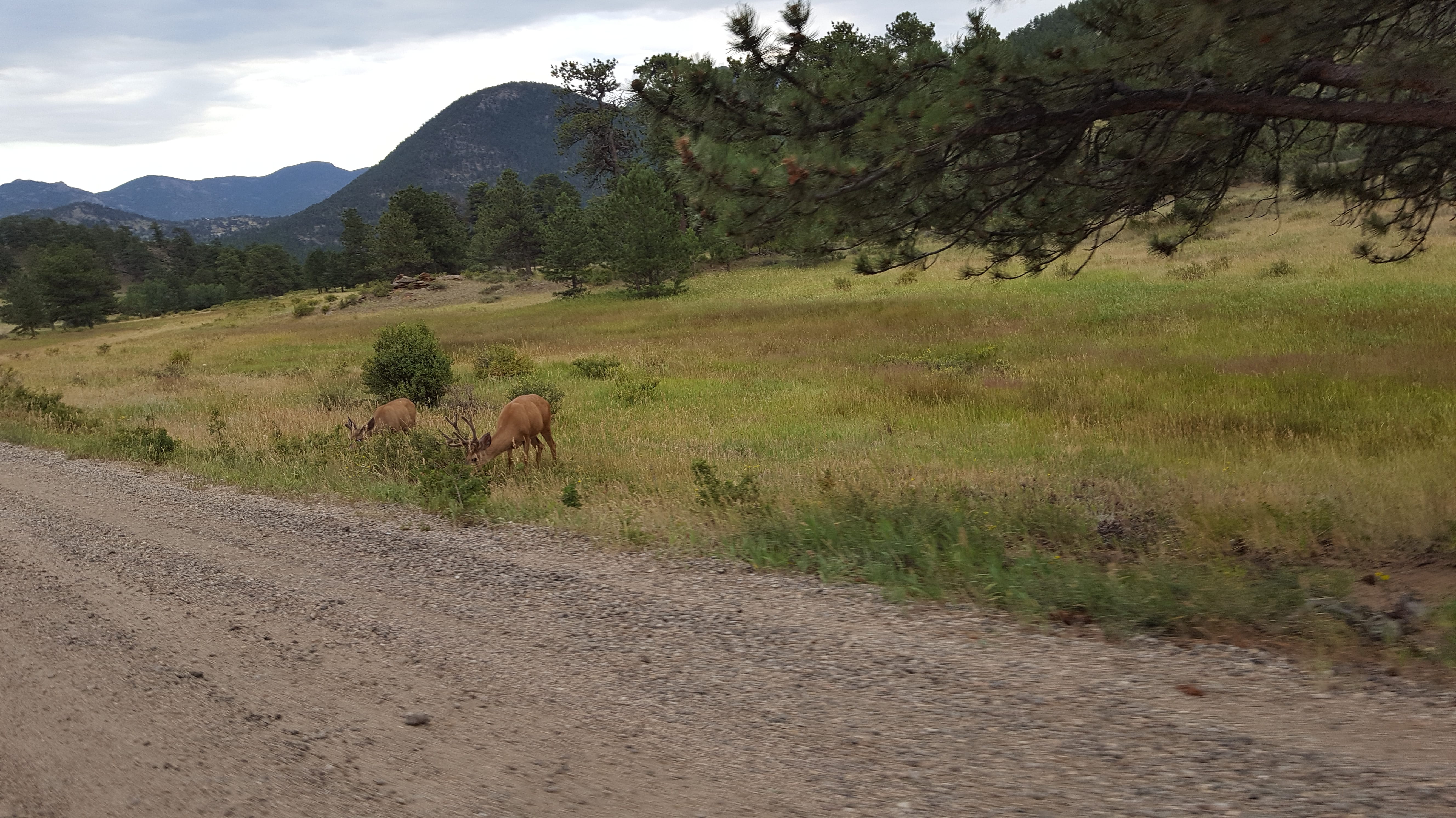
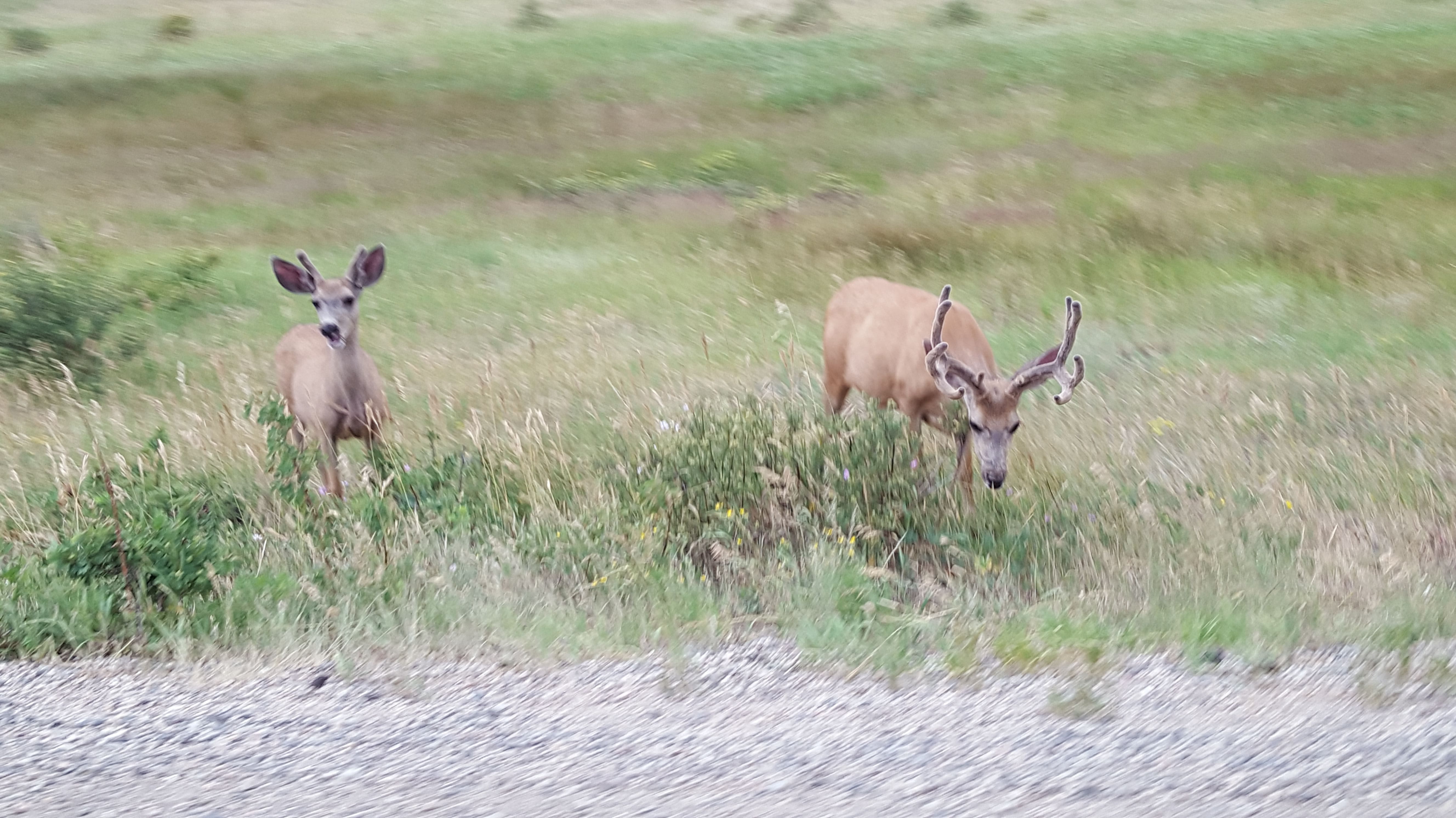
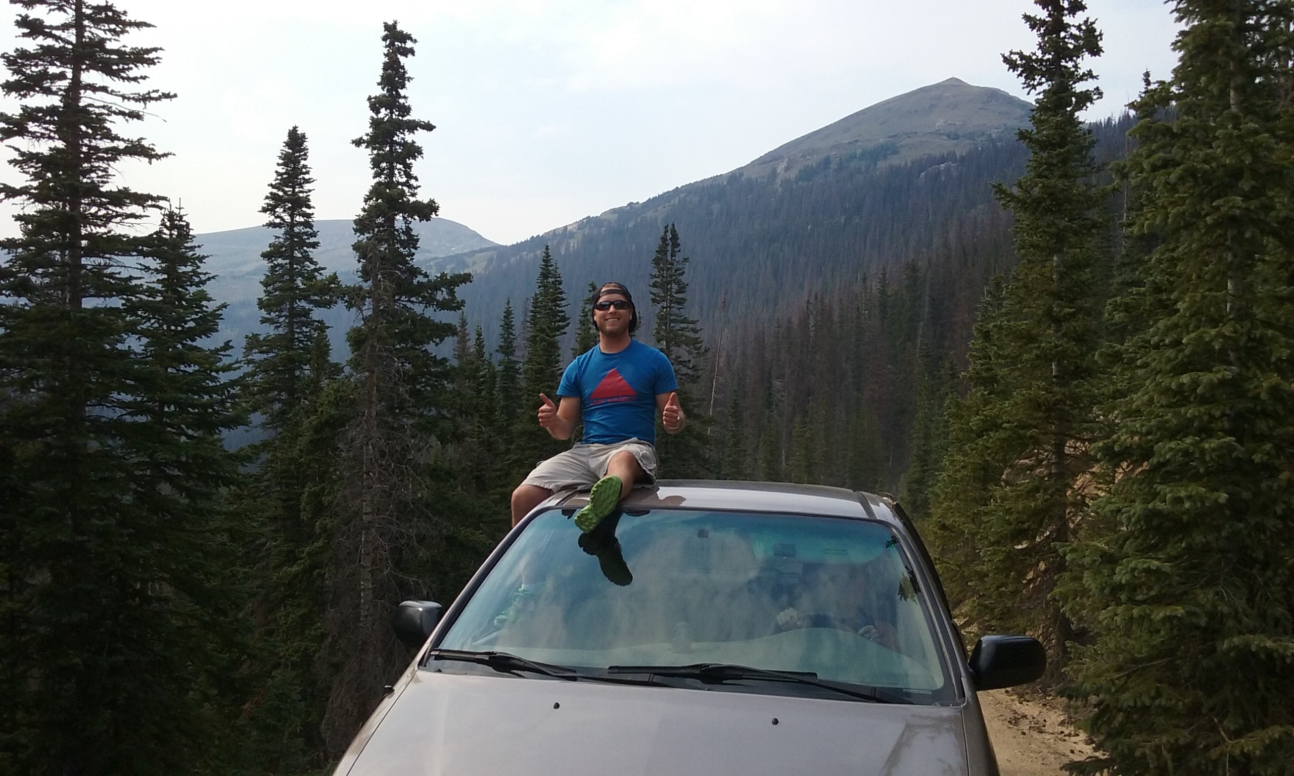
Guess where we went that afternoon? Yep, we ventured up OFRR again. This time, I was the driver while Rick and Luke stood at the van’s open side doors.
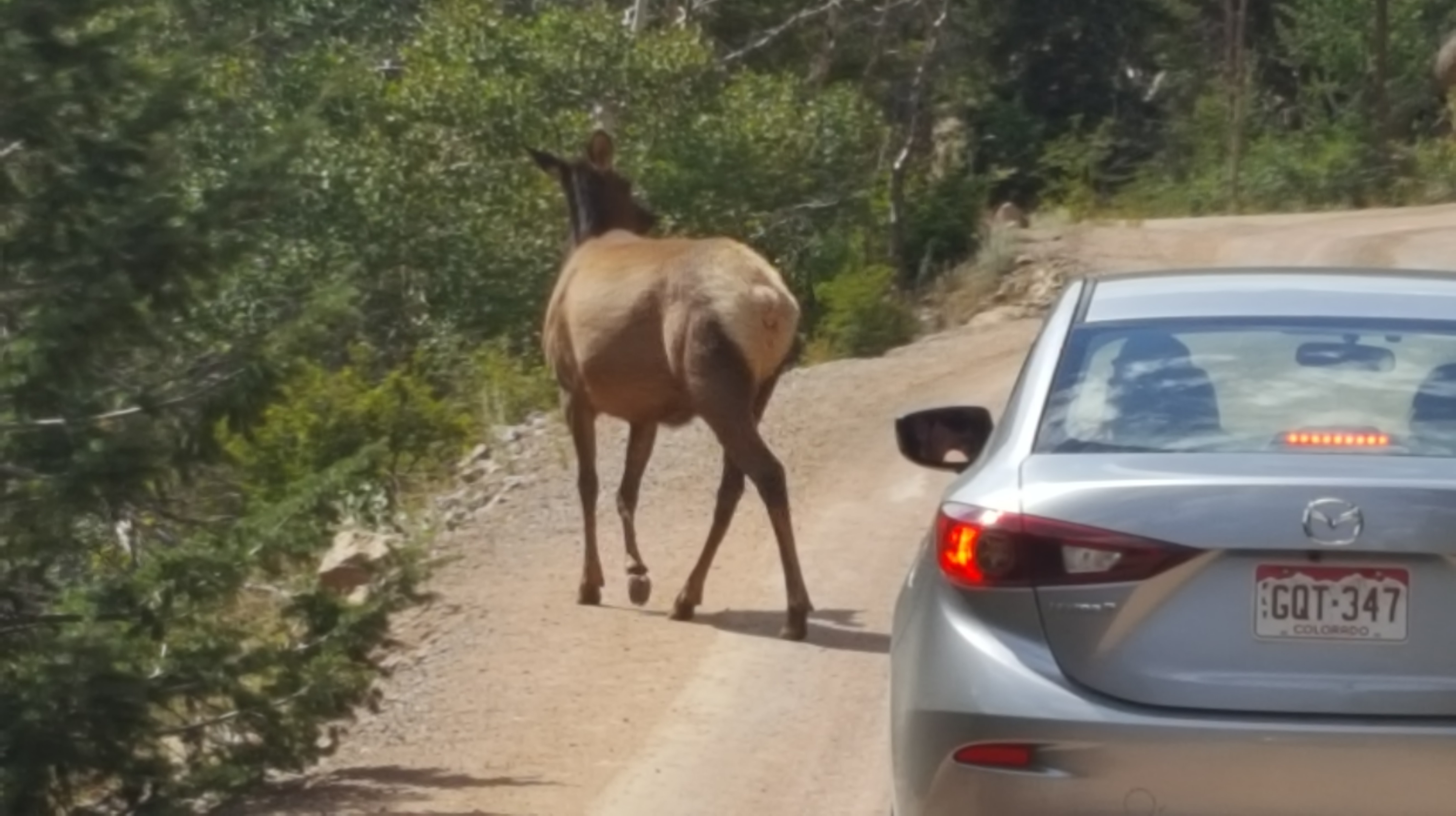
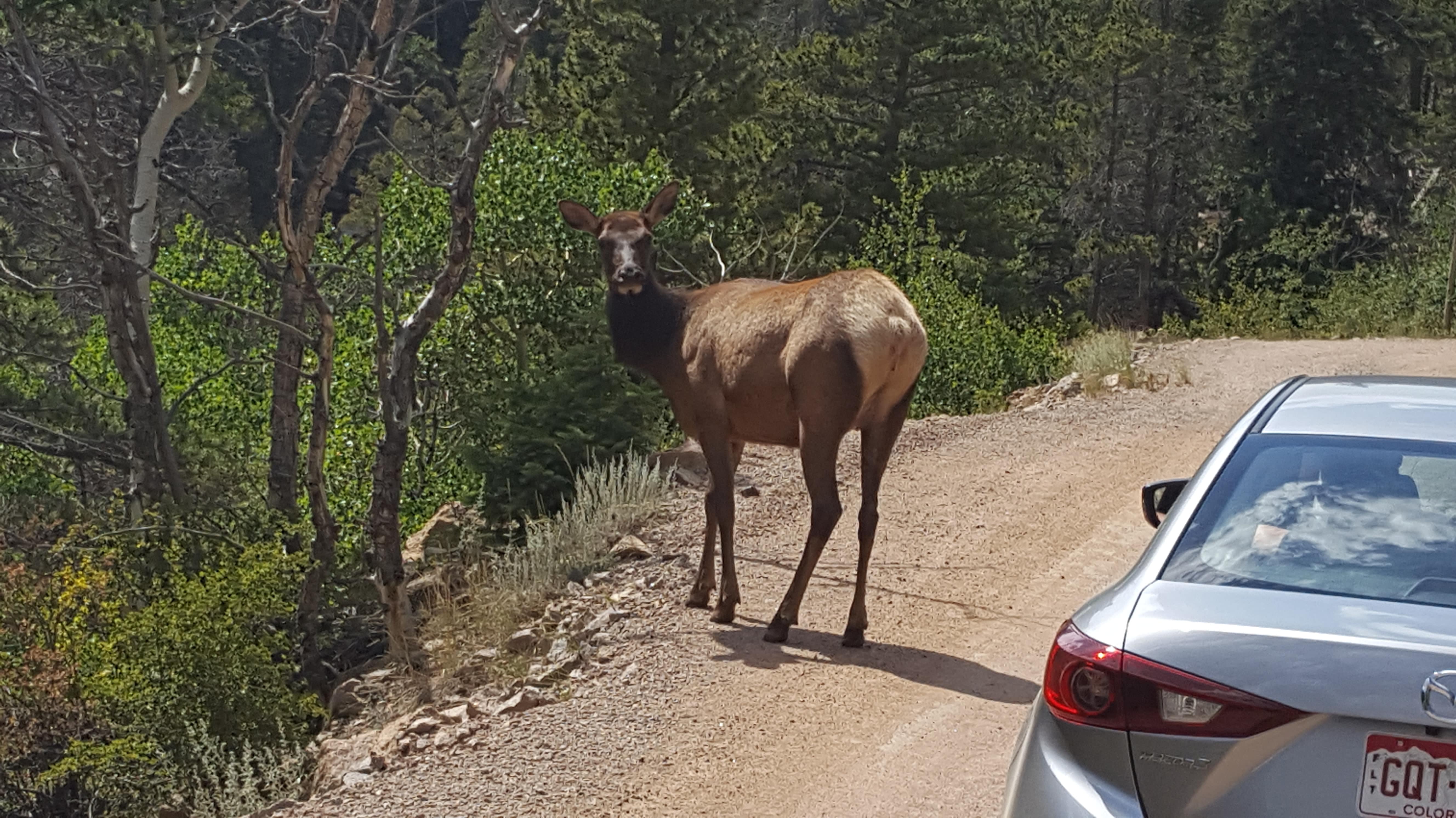
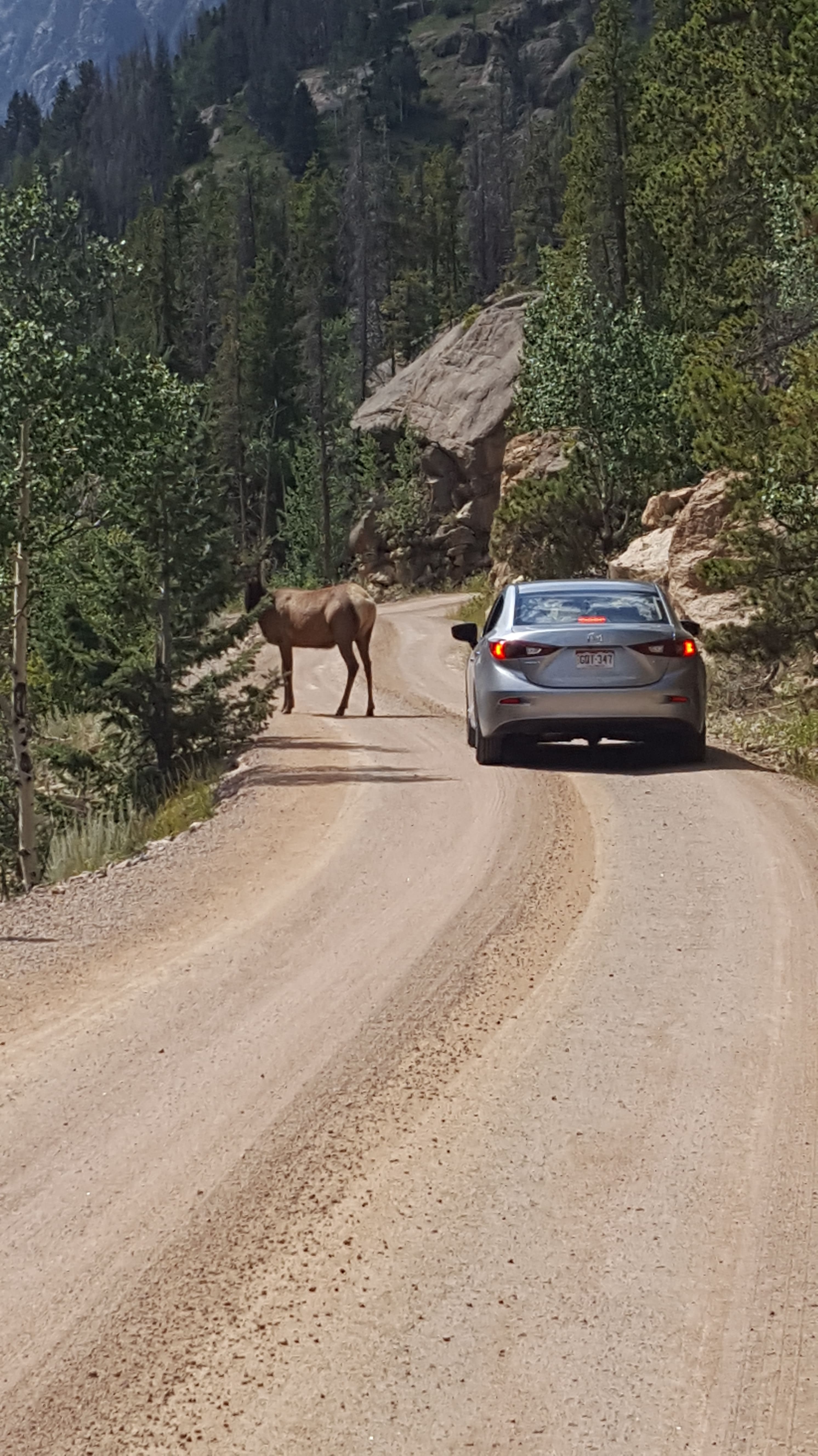
We got a nice surprise. As we rounded a curve, right up ahead was an elk!
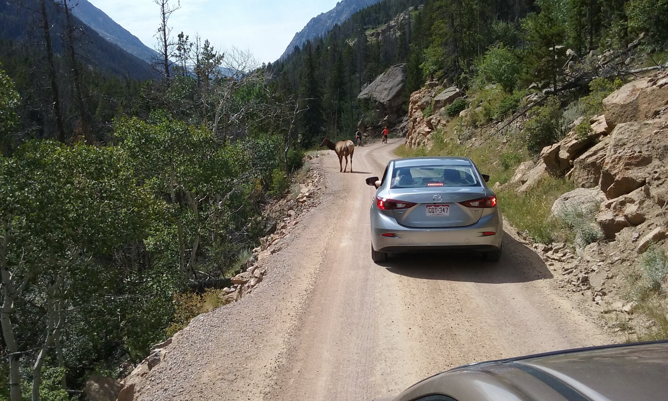
There was one car ahead of us and on the other side of the elk were some bikers.
It seemed like the elk didn’t know where to go as she stood there looking at us for quite a while.
Finally, she picked her way down the side of the road.
We garnered some good pictures!
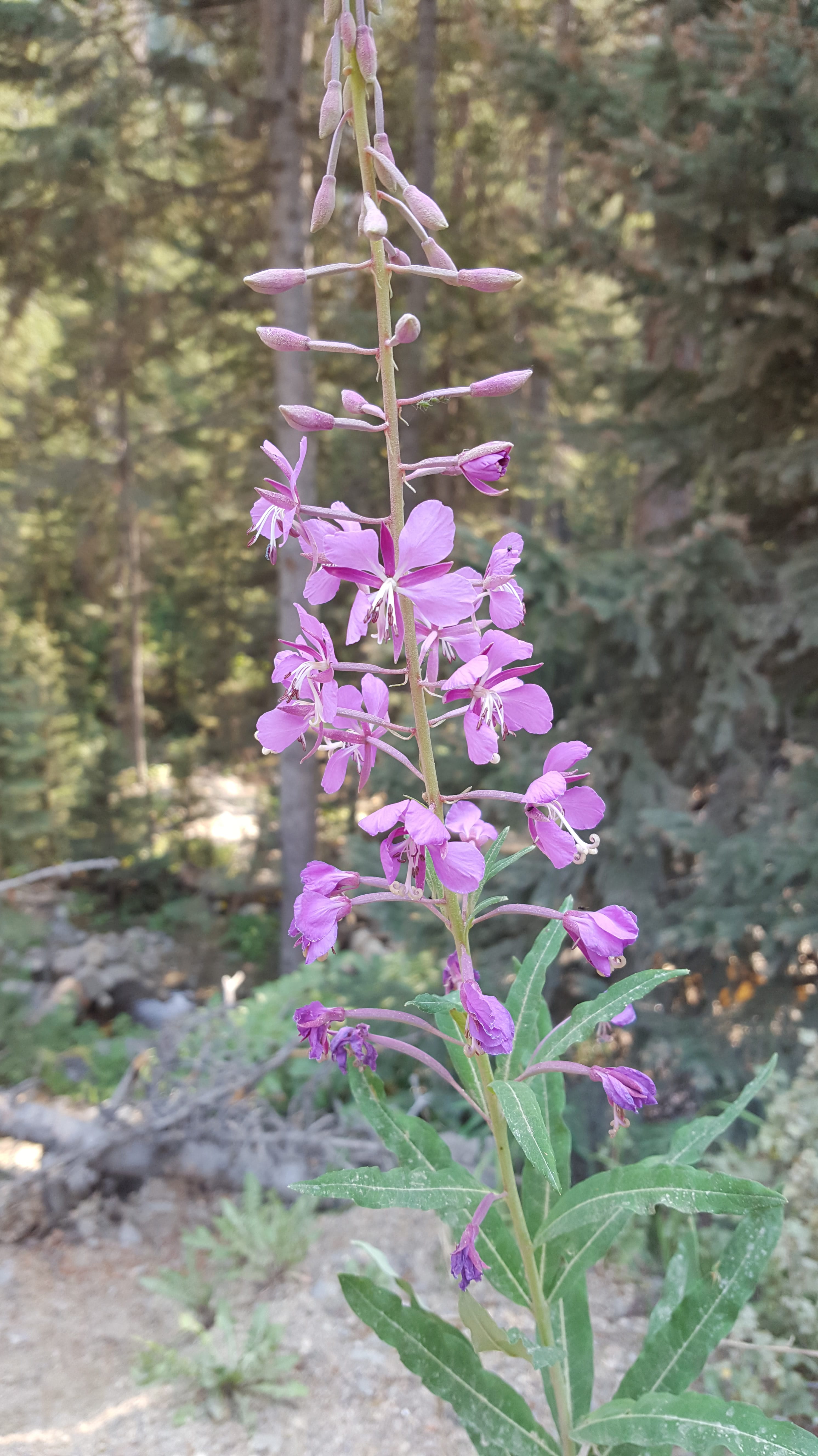
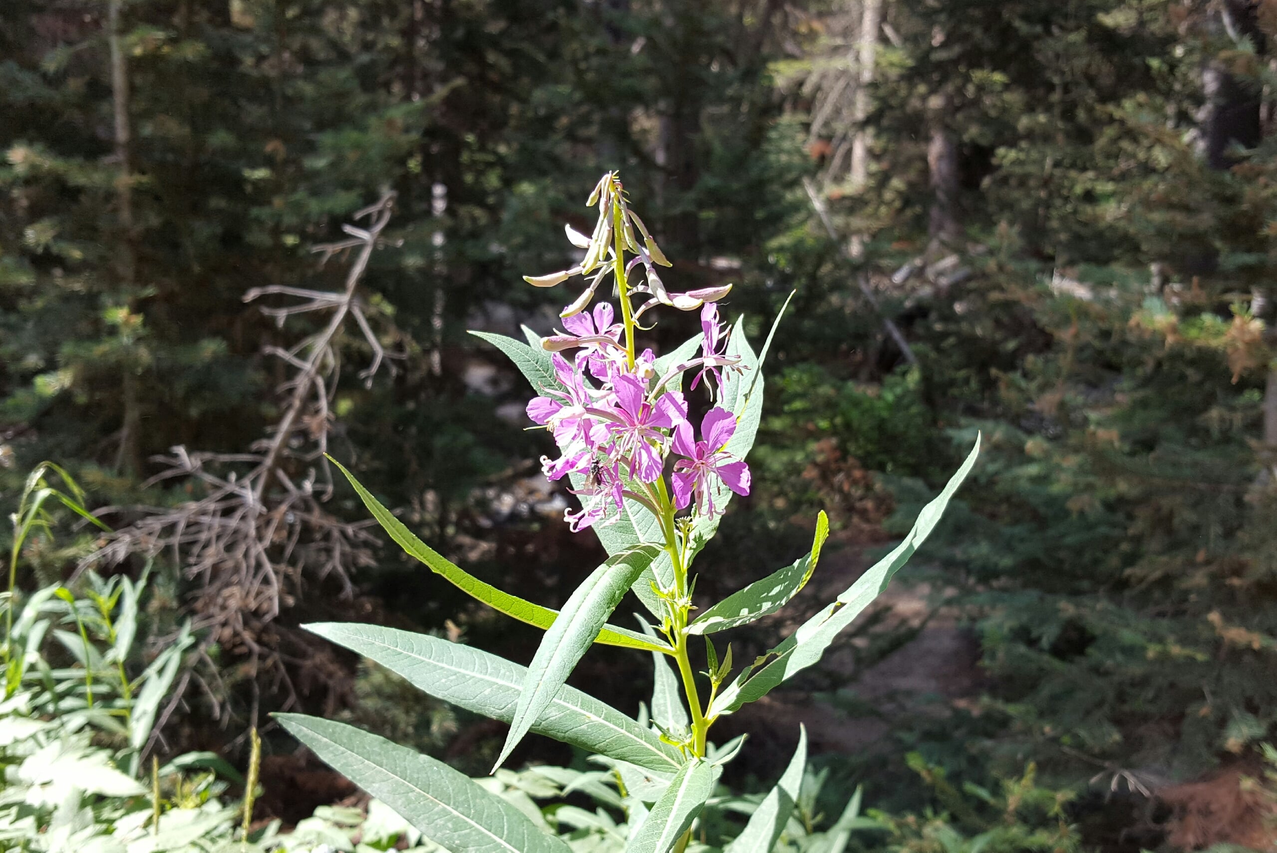
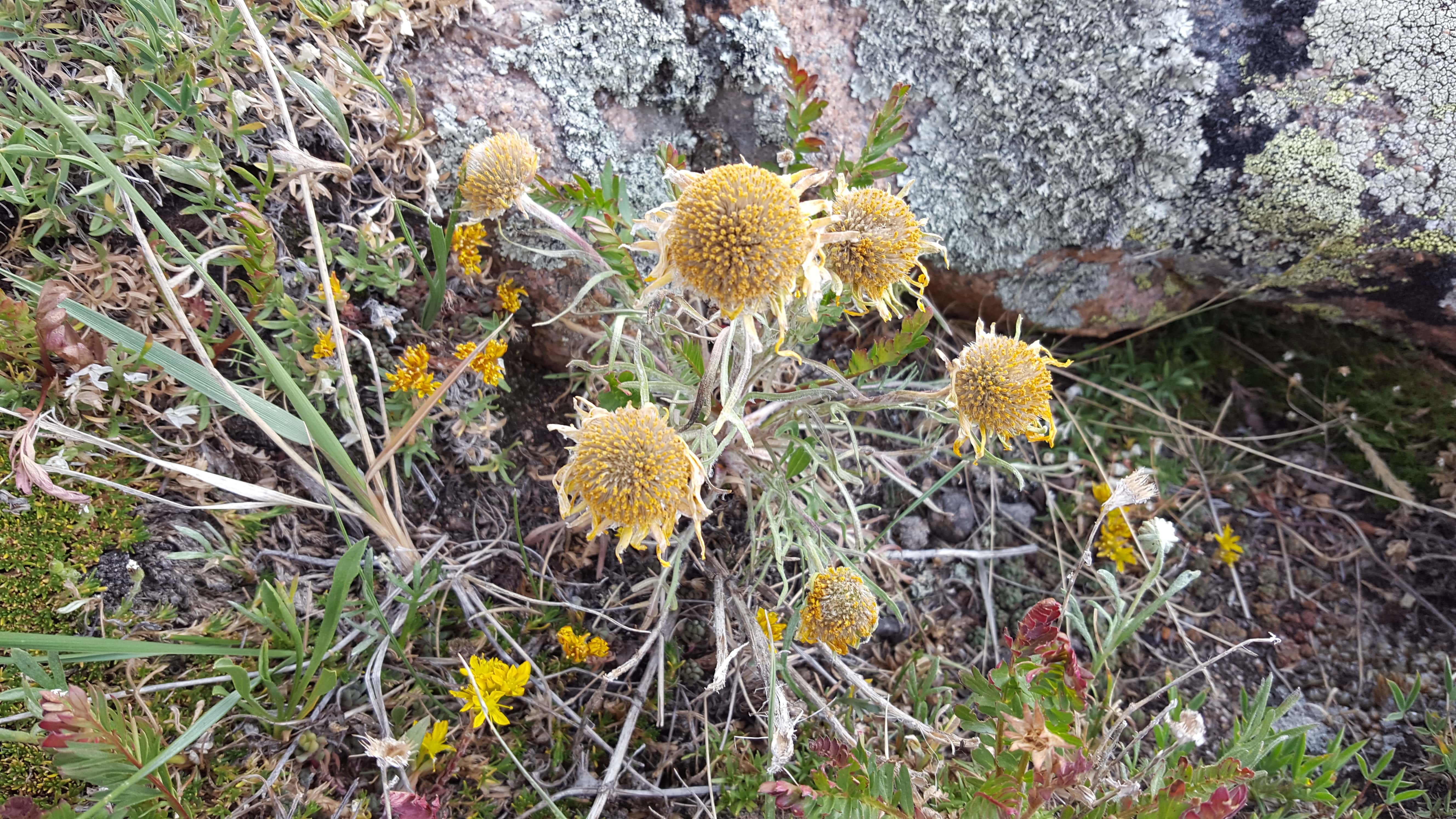
Random beauty…
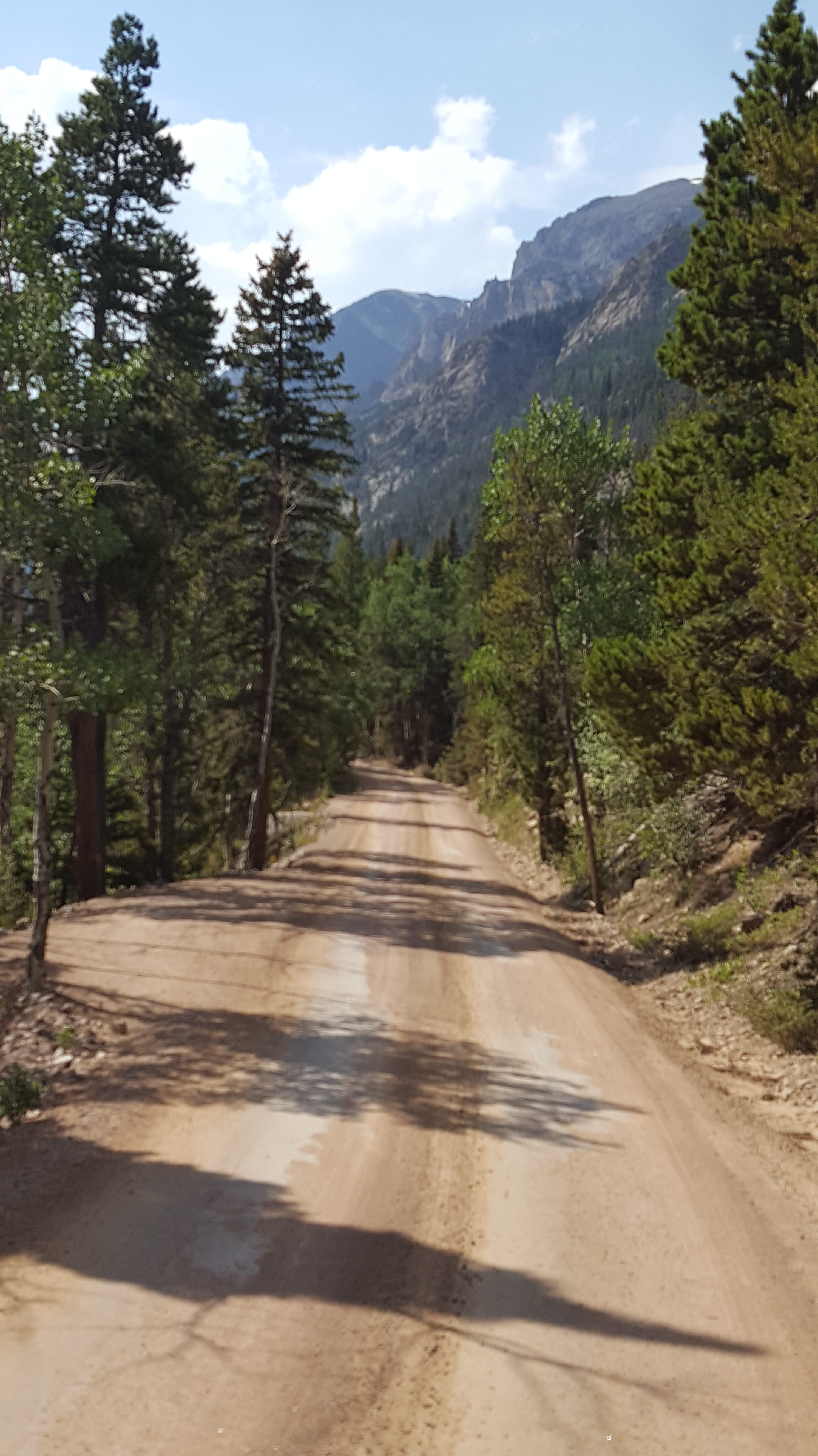
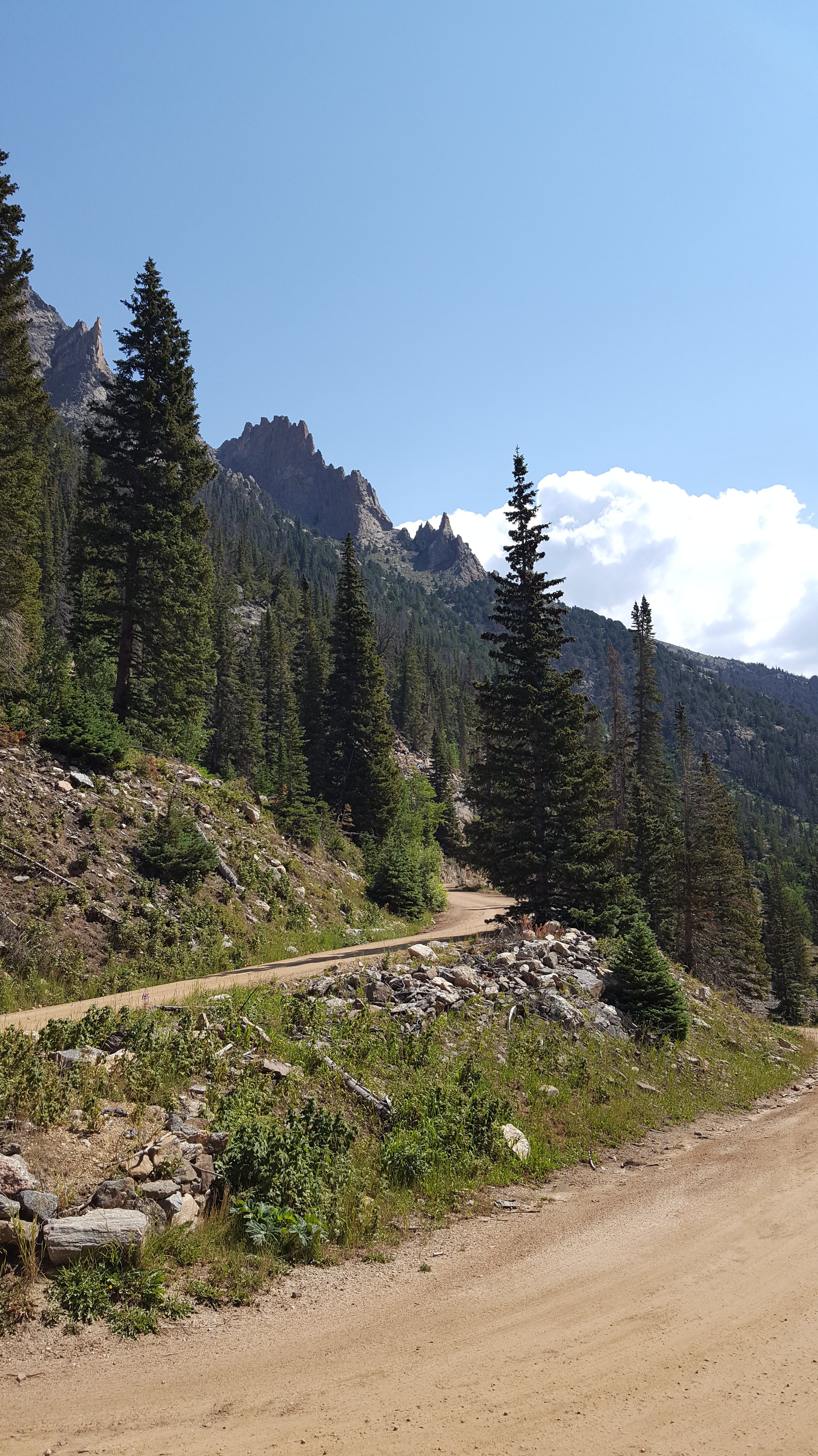
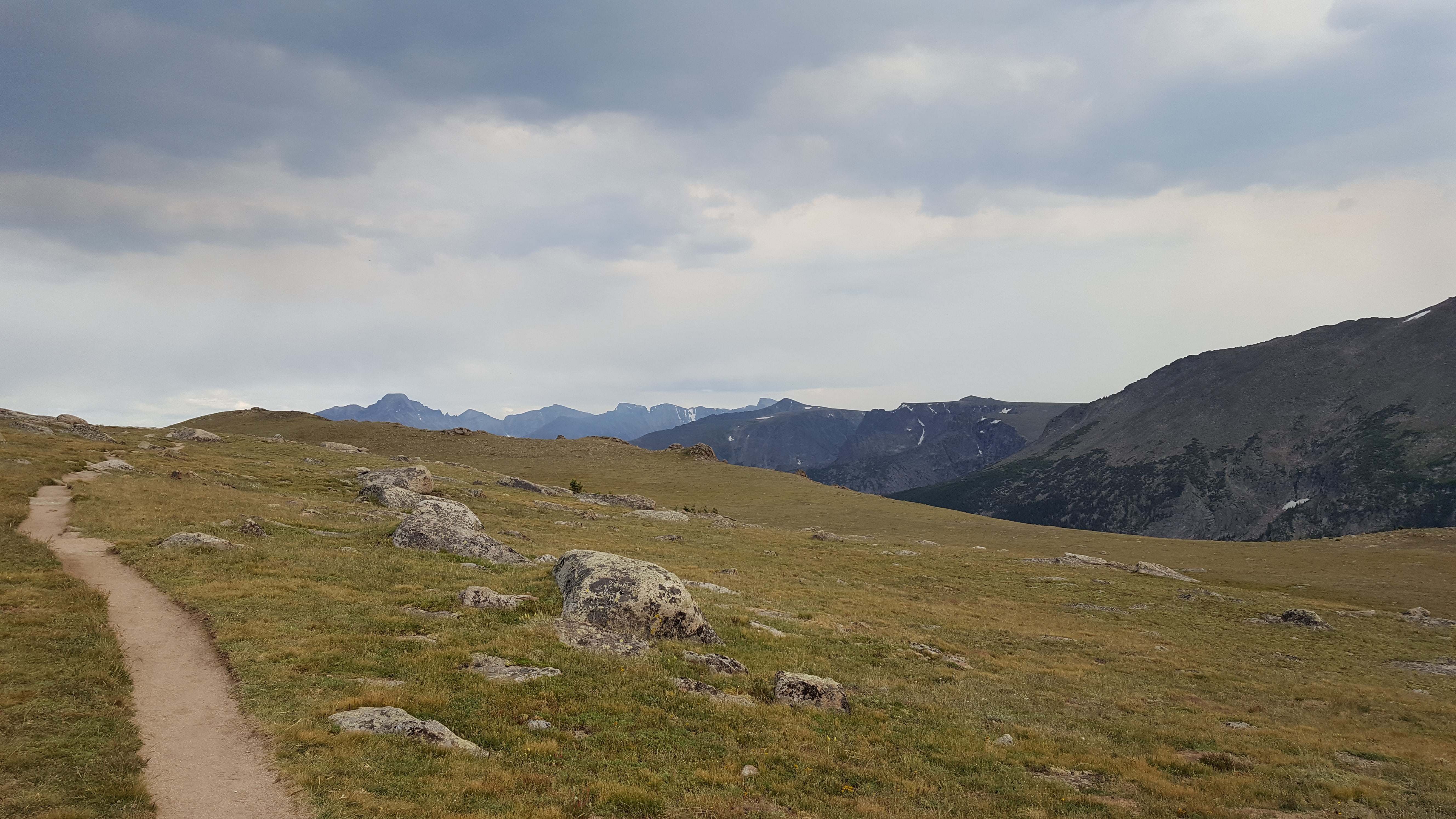
We continued on OFRR, seeing the beautiful scenery. When we got to the top, we took Trail Ridge Road towards Estes. From TRR, we hiked for about an hour on the Ute Trail and then headed into town to eat dinner.
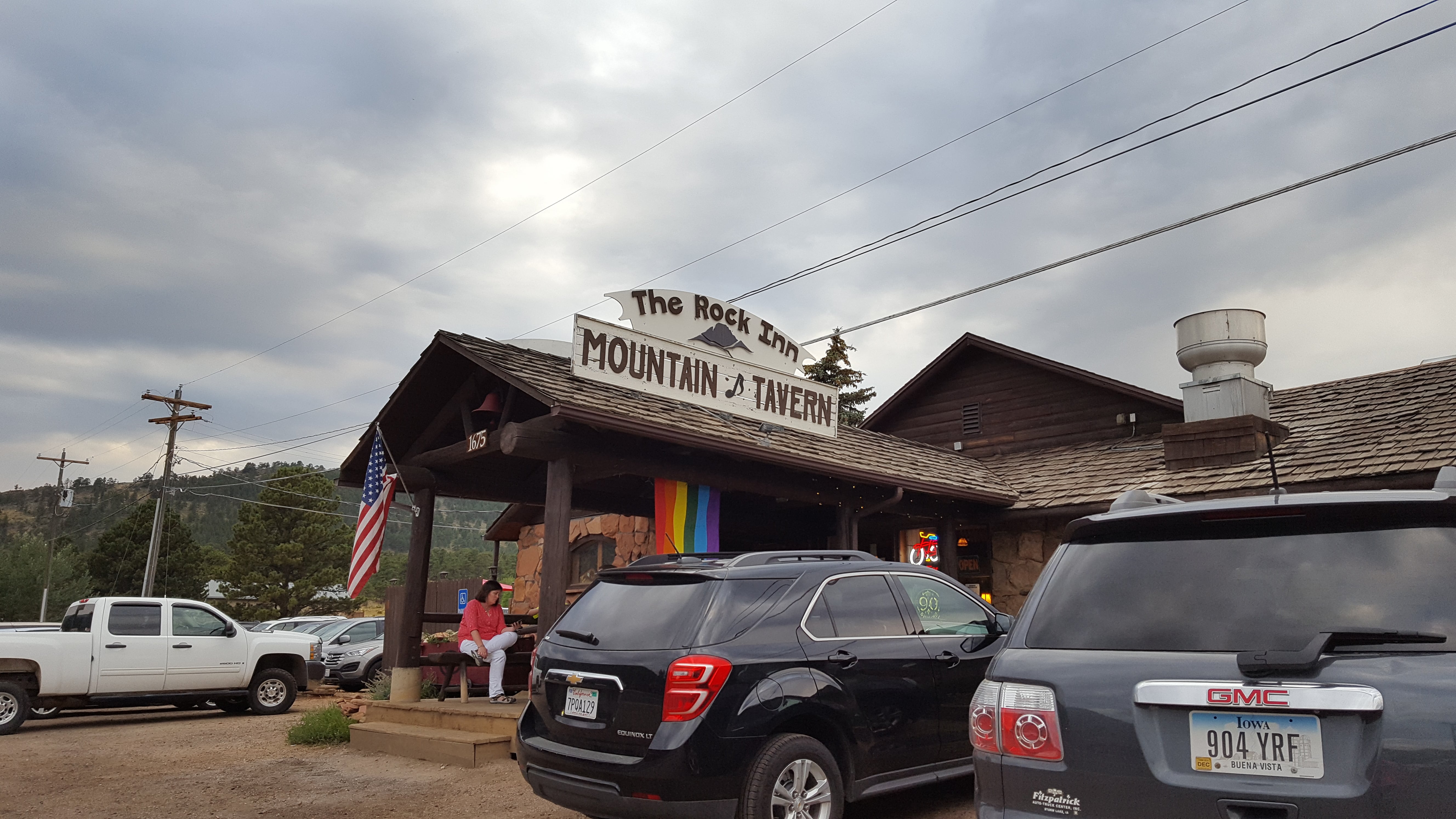
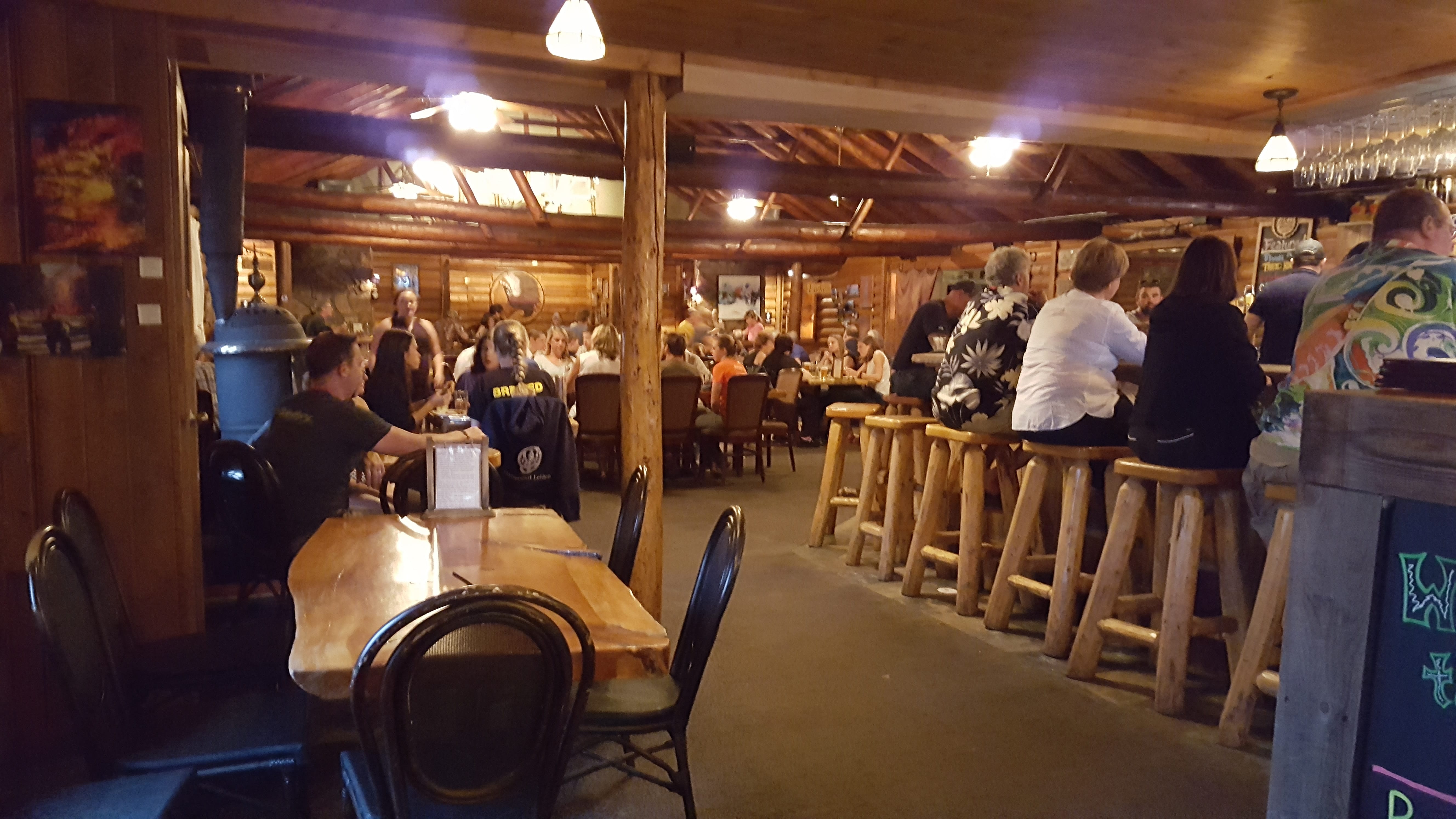
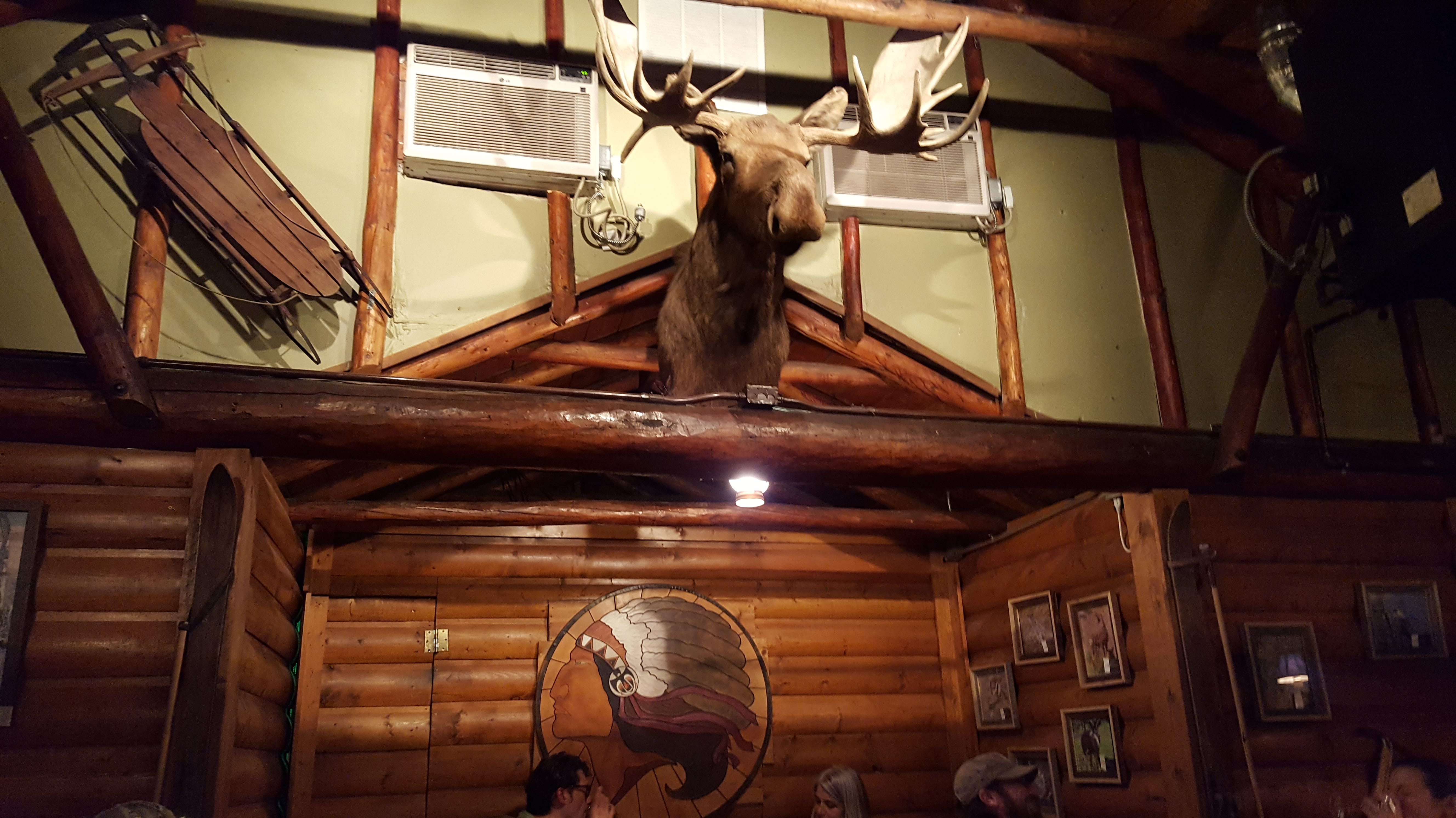
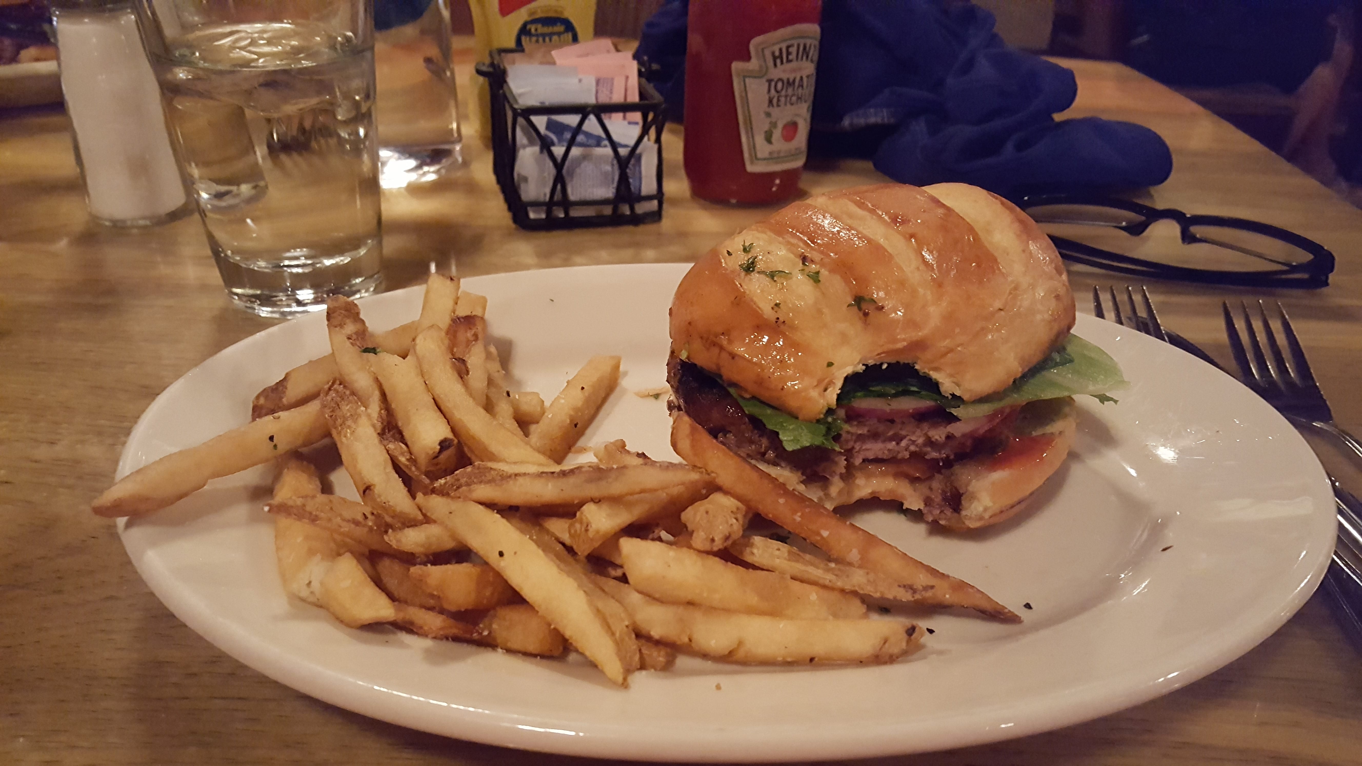
Eclectic and delicious
The Rock Inn Mountain Tavern is a slice of history in Estes Park.
Even though we chose the delicious burgers and fries, they have an interesting eclectic menu, which adds up to great food, great prices, and great fun!
Nice ending to a good day. 🙂

Well, that’s it for day 3. Check back for more fun in Estes and the Rocky Mountain Nat’l Park.
Take care. 🙂
Blessings, blooms, and mountain roads,
Pam
Author: Pam
Glad you’re here!


Leave A Comment